Storm library

Browse live and recent hail maps.

Review storm footprints, hail swaths, reports, and replay access. Create a free account to save your setup and move into map access when a storm matters.

Search filters
Clear
Newest storms first by default.
Don't see your storm? Request a qualifying storm map and we'll email you when it is ready.
Showing 1-24 of 29 storms · Page 1 of 2
‹ 1 2 ›
Request a storm map

Tell us about the storm and we'll build the map. Once it's published you'll get an email and can purchase it from the library — just like any other event.

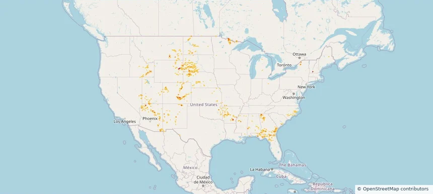
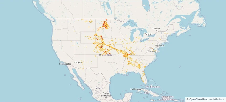
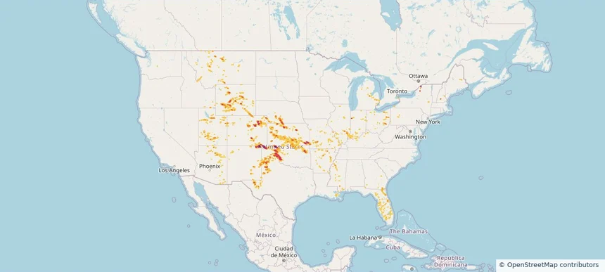
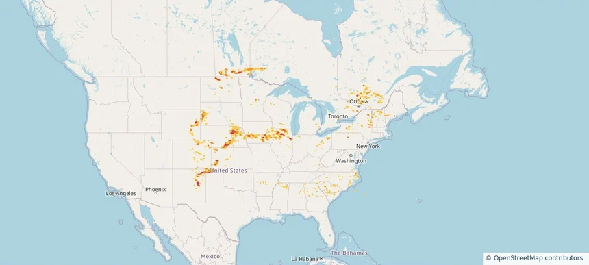
Nationwide Daily Hail & Wind Map - August 26, 2026 — regional hail footprint preview
Storm footprint preview
Aug 25, 2026 10:00 PM to Aug 27, 2026 1:45 AM CST

Nationwide Daily Hail & Wind Map - August 26, 2026

Hail as large as 2.50 inches was reported near 12 miles northeast of North Cheyenne, WY. Wind up to 84 mph was reported near 8 miles south of Sibley Peak, WY. The storm had 28 official hail reports.

Affected states: National, AL, AZ, AR, CO, FL, ID, IL, IN, KS, KY, LA, MI, MN, MS, MO, MT, NE, NH, NM, OH, OK, TN, TX, UT, WI, WY
3.0 inRadar size estimate 900,599Population Affected 374,590Houses Affected Hail · WindHazards FreeAccount signup
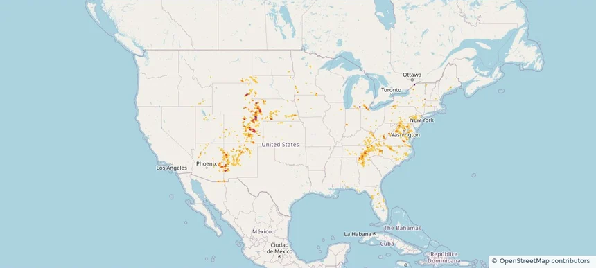
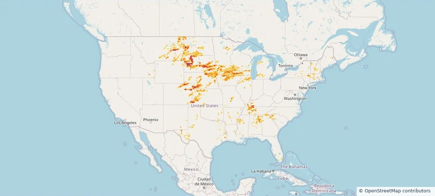
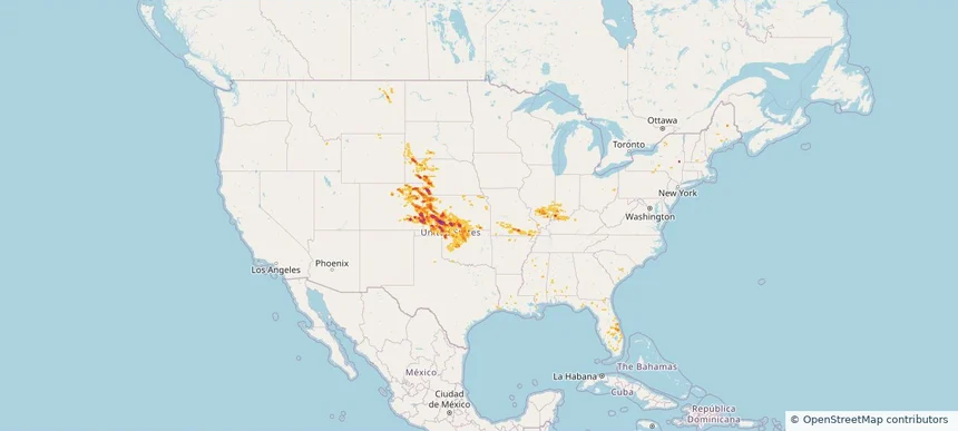
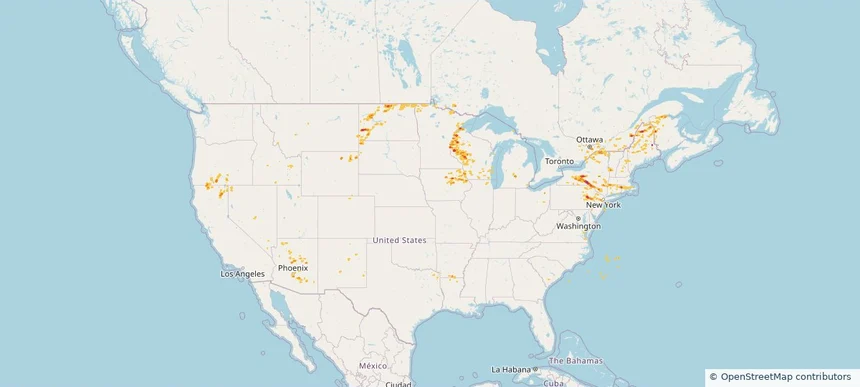
Nationwide Daily Hail, Wind & Tornado Map - August 13, 2026 — regional hail footprint preview
Storm footprint preview
Aug 12, 2026 10:00 PM to Aug 14, 2026 1:45 AM CST

Nationwide Daily Hail, Wind & Tornado Map - August 13, 2026

Hail as large as 1.75 inches was reported near 4 miles east-northeast of Alexandria, IN. Wind up to 118 mph was reported near 1 mile south-southwest of New Haven Airport, CT. 6 tornadoes were reported, including one near 4 miles southwest of Cornlea, NE. The storm had 10 official hail reports.

Affected states: National, AL, AZ, CA, CO, CT, FL, GA, IL, IN, IA, KS, KY, ME, MA, MI, MS, MO, MT, NE, NV, NH, NM, NY, NC, OH, OK, OR, RI, SC, SD, TN, TX, UT, VT, VA, WA, WY
2.5 inRadar size estimate 981,714Population Affected 420,167Houses Affected Hail · Wind · TornadoHazards FreeAccount signup
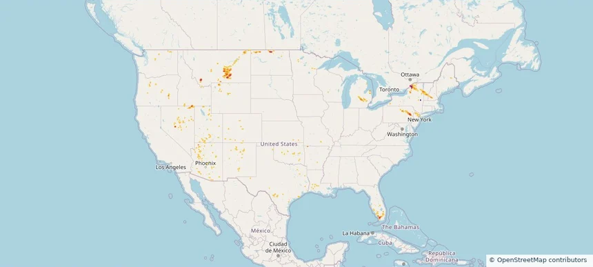
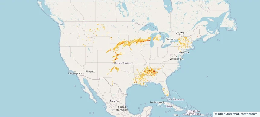
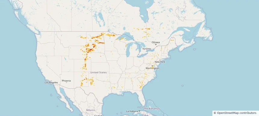
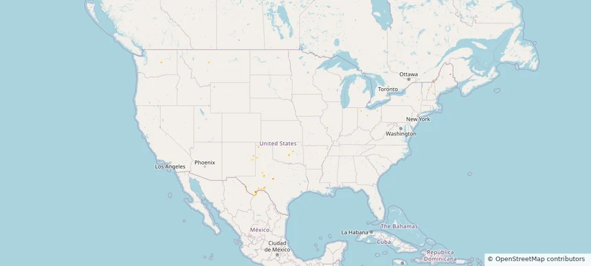
Nationwide Daily Hail, Wind & Tornado Map - August 8, 2026 — regional hail footprint preview
Storm footprint preview
Aug 7, 2026 10:00 PM to Aug 9, 2026 1:45 AM CST

Nationwide Daily Hail, Wind & Tornado Map - August 8, 2026

Hail as large as 1.50 inches was reported near Mound City, SD. Wind up to 84 mph was reported near 2 miles west-southwest of Leigh, NE. A tornado was reported near 2 miles east-northeast of Folly Beach, SC. The storm had 12 official hail reports.

Affected states: National, AL, AZ, AR, CO, CT, FL, GA, IN, IA, KS, KY, LA, ME, MD, MA, MN, MS, MO, NE, NV, NH, NJ, NM, NY, NC, ND, OH, OK, PA, SC, SD, TN, TX, UT, VT, VA, WV
2.48 inRadar size estimate 452,186Population Affected 195,183Houses Affected Hail · Wind · TornadoHazards FreeAccount signup
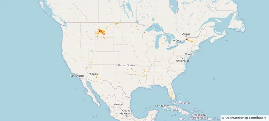
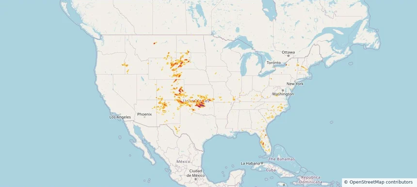
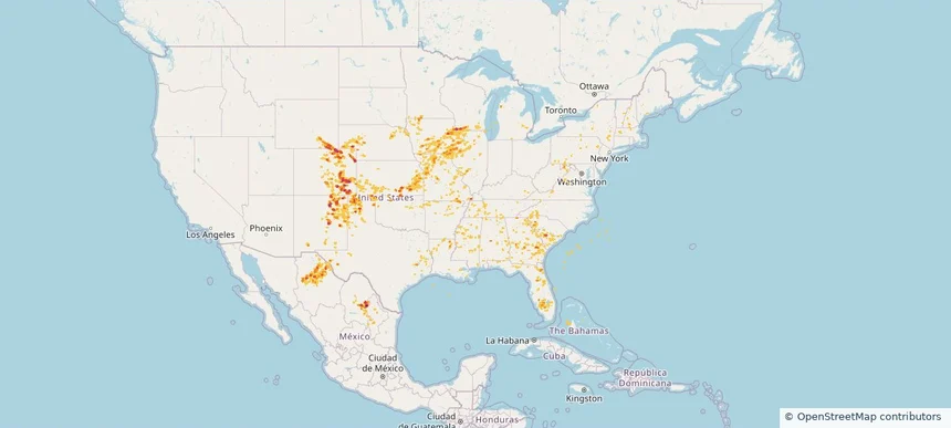
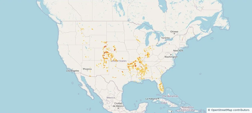
Nationwide Daily Hail, Wind & Tornado Map - July 29, 2026 — regional hail footprint preview
Storm footprint preview
Jul 28, 2026 10:00 PM to Jul 30, 2026 1:45 AM CST

Nationwide Daily Hail, Wind & Tornado Map - July 29, 2026

Hail as large as 1.75 inches was reported near 11 miles north of Rosita, CO. Wind up to 94 mph was reported near 1 mile northeast of Midland, SD. 2 tornadoes were reported, including one near 1 mile northwest of South Brookfield, NY. The storm had 3 official hail reports.

Affected states: National, AL, AZ, AR, CO, FL, GA, ID, IL, KS, MN, MS, MO, MT, NE, NV, NH, NM, NY, NC, ND, OK, SC, SD, TX, UT, WY
2.5 inRadar size estimate 494,842Population Affected 210,743Houses Affected Hail · Wind · TornadoHazards FreeAccount signup
Nationwide Daily Hail, Wind & Tornado Map - July 28, 2026 — regional hail footprint preview
Storm footprint preview
Jul 27, 2026 10:00 PM to Jul 29, 2026 1:45 AM CST

Nationwide Daily Hail, Wind & Tornado Map - July 28, 2026

Hail as large as 2.50 inches was reported near 2 miles southwest of Mustoe, VA. Wind up to 92 mph was reported near 2 miles north of Broadwater, NE. 9 tornadoes were reported, including one near Wheaton, IL. The storm had 10 official hail reports.

Affected states: National, AL, AZ, CO, DE, DC, FL, GA, ID, IL, IN, IA, KS, KY, MD, MA, MI, MN, MT, NE, NV, NH, NJ, NM, NY, NC, OH, PA, SC, SD, TN, UT, VT, VA, WV, WY
3.5 inRadar size estimate 1,672,741Population Affected 721,330Houses Affected Hail · Wind · TornadoHazards FreeAccount signup
Nationwide Daily Hail, Wind & Tornado Map - July 15, 2026 — regional hail footprint preview
Storm footprint preview
Jul 14, 2026 10:00 PM to Jul 16, 2026 1:45 AM CST

Nationwide Daily Hail, Wind & Tornado Map - July 15, 2026

Hail as large as 2.75 inches was reported near 1 mile north-northeast of Contact, NV. Wind up to 85 mph was reported near 7 miles north of Lavina, MT. 3 tornadoes were reported, including one near 2 miles east-northeast of San Antonio, TX. The storm had 2 official hail reports.

Affected states: National, AZ, AR, CO, FL, ID, LA, ME, MI, MT, NV, NH, NJ, NM, NY, ND, OK, OR, PA, TX, UT, VT, WA, WY
3.0 inRadar size estimate 422,959Population Affected 169,795Houses Affected Hail · Wind · TornadoHazards FreeAccount signup
Nationwide Daily Hail & Wind Map - July 14, 2026 — regional hail footprint preview
Storm footprint preview
Jul 13, 2026 10:00 PM to Jul 15, 2026 1:45 AM CST

Nationwide Daily Hail & Wind Map - July 14, 2026

Hail as large as 2.75 inches was reported near Hermon, NY. Wind up to 99 mph was reported near 12 miles south-southeast of Forestgrove, MT. The storm had 1 official hail report.

Affected states: National, AZ, AR, CO, FL, IA, ME, MI, MN, MS, MT, NV, NH, NM, NY, ND, OK, TX, UT, VT, WY
3.5 inRadar size estimate 40,408Population Affected 21,381Houses Affected Hail · WindHazards FreeAccount signup
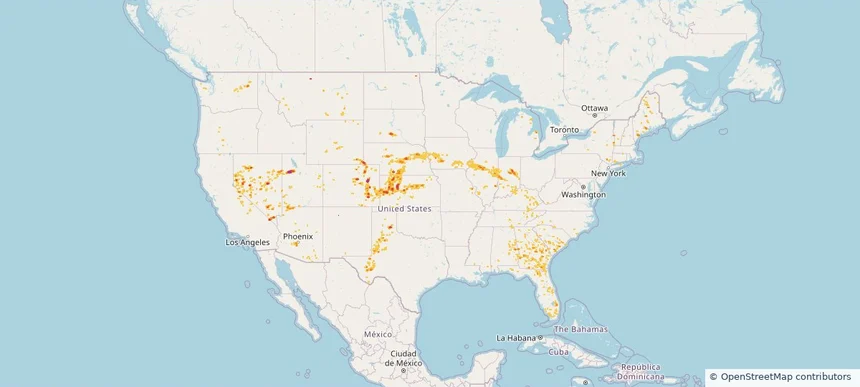
Nationwide Daily Hail, Wind & Tornado Map - July 9, 2026 — regional hail footprint preview
Storm footprint preview
Jul 8, 2026 10:00 PM to Jul 10, 2026 1:45 AM CST

Nationwide Daily Hail, Wind & Tornado Map - July 9, 2026

Hail as large as 2.50 inches was reported near 3 miles northeast of Silva, ND. Wind up to 92 mph was reported near 1 mile west of Goodland, KS. 4 tornadoes were reported, including one near 4 miles southwest of Hamberg, ND. The storm had 9 official hail reports.

Affected states: National, AL, AZ, AR, CO, FL, GA, IL, IN, IA, KS, KY, LA, MD, MI, MS, MO, MT, NE, NV, NH, NJ, NM, NY, ND, OH, OK, PA, SC, SD, TN, TX, UT, VT, VA, WV, WI, WY
3.0 inRadar size estimate 861,337Population Affected 387,416Houses Affected Hail · Wind · TornadoHazards FreeAccount signup
Nationwide Daily Hail, Wind & Tornado Map - July 2, 2026 — regional hail footprint preview
Storm footprint preview
Jul 1, 2026 10:00 PM to Jul 3, 2026 1:45 AM CST

Nationwide Daily Hail, Wind & Tornado Map - July 2, 2026

Hail as large as 3.50 inches was reported near 4 miles east-southeast of Maynard, IA. Wind up to 121 mph was reported near 2 miles north-northwest of Huron, SD. 6 tornadoes were reported, including one near 6 miles south of Gann Valley, SD. The storm had 39 official hail reports.

Affected states: National, AL, AR, CO, CT, FL, GA, ID, IL, IA, KS, KY, LA, ME, MA, MI, MN, MS, MO, MT, NE, NH, NM, NY, NC, ND, OK, SC, SD, TN, TX, UT, VT, WI, WY
3.0 inRadar size estimate 1,989,573Population Affected 827,826Houses Affected Hail · Wind · TornadoHazards FreeAccount signup
Nationwide Daily Hail, Wind & Tornado Map - July 1, 2026 — regional hail footprint preview
Storm footprint preview
Jun 30, 2026 10:00 PM to Jul 2, 2026 1:45 AM CST

Nationwide Daily Hail, Wind & Tornado Map - July 1, 2026

Hail as large as 3.00 inches was reported near 3 miles southeast of Fond Du Lac, WI. Wind up to 98 mph was reported near 1 mile west-southwest of Kingsley Dam, NE. 2 tornadoes were reported, including one near 1 mile south of Stacyville, IA. The storm had 16 official hail reports.

Affected states: National, AL, AR, CO, CT, FL, GA, ID, IA, KS, LA, ME, MA, MI, MN, MS, MT, NE, NH, NM, NY, NC, OK, PA, SD, TN, TX, VT, WI, WY
2.5 inRadar size estimate 1,114,635Population Affected 498,071Houses Affected Hail · Wind · TornadoHazards FreeAccount signup
Nationwide Daily Hail, Wind & Tornado Map - June 26, 2026 — regional hail footprint preview
Storm footprint preview
Jun 25, 2026 10:00 PM to Jun 27, 2026 1:45 AM CST

Nationwide Daily Hail, Wind & Tornado Map - June 26, 2026

Hail as large as 2.00 inches was reported near Guthrie, OK. Wind up to 110 mph was reported near 3 miles southeast of Breckenridge, OK. 9 tornadoes were reported, including one near 4 miles north-northeast of Wilson City, MO. The storm had 11 official hail reports.

Affected states: National, AZ, AR, CO, FL, GA, ID, IL, IN, KS, KY, MD, MA, MO, MT, NE, NH, NM, NY, NC, ND, OK, OR, SC, SD, TN, TX, UT, VT, VA, WY
3.5 inRadar size estimate 777,764Population Affected 330,473Houses Affected Hail · Wind · TornadoHazards FreeAccount signup
Nationwide Daily Hail, Wind & Tornado Map - June 25, 2026 — regional hail footprint preview
Storm footprint preview
Jun 24, 2026 10:00 PM to Jun 26, 2026 1:45 AM CST

Nationwide Daily Hail, Wind & Tornado Map - June 25, 2026

Hail as large as 2.50 inches was reported near Boise City, OK. Wind up to 127 mph was reported near 2 miles northeast of Slaton, TX. 4 tornadoes were reported, including one near 11 miles north-northeast of Jeffrey City, WY. The storm had 25 official hail reports.

Affected states: National, AZ, AR, CO, FL, GA, ID, IL, IN, KS, KY, LA, MI, MS, MO, MT, NE, NH, NM, NY, OH, OK, PA, TX, UT, WY
4.39 inRadar size estimate 1,071,122Population Affected 470,096Houses Affected Hail · Wind · TornadoHazards FreeAccount signup
Nationwide Daily Hail, Wind & Tornado Map - June 21, 2026 — regional hail footprint preview
Storm footprint preview
Jun 20, 2026 10:00 PM to Jun 22, 2026 1:45 AM CST

Nationwide Daily Hail, Wind & Tornado Map - June 21, 2026

Hail as large as 3.20 inches was reported near 12 miles north of Max, NE. Wind up to 117 mph was reported near 7 miles west of Hinton, OK. 80 tornadoes were reported, including one near 6 miles east of Sedgwick, KS. The storm had 11 official hail reports.

Affected states: National, AR, CO, FL, GA, IL, IN, KS, KY, LA, ME, MS, MO, MT, NE, NH, NY, OK, SD, WY
3.38 inRadar size estimate 516,233Population Affected 229,188Houses Affected Hail · Wind · TornadoHazards FreeAccount signup
Nationwide Daily Hail, Wind & Tornado Map - June 6, 2026 — regional hail footprint preview
Storm footprint preview
Jun 5, 2026 10:00 PM to Jun 7, 2026 1:45 AM CST

Nationwide Daily Hail, Wind & Tornado Map - June 6, 2026

Hail as large as 2.00 inches was reported near Pleasantville, IA. Wind up to 85 mph was reported near 1 mile north-northwest of Scenery Hill, PA. 8 tornadoes were reported, including one near 2 miles west-southwest of Beallsville, PA. The storm had 7 official hail reports.

Affected states: National, AR, CO, CT, DE, IL, IN, IA, KS, MD, MA, MI, MN, MO, MT, NE, NH, NJ, NM, NY, ND, OH, OK, PA, SD, TX, UT, VT, VA, WV, WI, WY
3.0 inRadar size estimate 1,298,330Population Affected 521,023Houses Affected Hail · Wind · TornadoHazards FreeAccount signup
Historical Hail — 2026-04-16 — regional hail footprint preview
Storm footprint preview
Apr 16, 2026 7:00 AM to Apr 17, 2026 7:00 AM CST

Historical Hail — 2026-04-16

Hail as large as 3.00 inches was reported near Iberia, MISSOURI. Wind up to 68 mph was reported near 3 miles west-northwest of Elkton, KY. A tornado was reported near 2 miles south-southeast of Williamstown, VT. The storm had 25 official hail reports.

Affected states: National, AR, IL, KY, ME, MI, MO, NH, NY, OH, PA, TN, TX, VT
3.0 inRadar size estimate 203,563Population Affected 97,181Houses Affected Hail · Wind · TornadoHazards FreeAccount signup
Historical Hail — 2025-09-06 — regional hail footprint preview
Storm footprint preview
Sep 6, 2025 7:00 AM to Sep 7, 2025 7:00 AM CST

Historical Hail — 2025-09-06

Hail as large as 1.00 inches was reported near Oak Grove, GEORGIA. Wind up to 74 mph was reported near Westfield-Barnes Ap, MA. 12 tornadoes were reported, including one near Worcester, MASSACHUSETTS. The storm had 6 official hail reports.

Affected states: National, AL, CT, DE, GA, ME, MD, MA, NH, NJ, NY, NC, PA, SC, VA
1.47 inRadar size estimate 497,283Population Affected 191,578Houses Affected Hail · Wind · TornadoHazards FreeAccount signup
Historical Hail — 2025-08-13 — regional hail footprint preview
Storm footprint preview
Aug 13, 2025 7:00 AM to Aug 14, 2025 7:00 AM CST

Historical Hail — 2025-08-13

Hail as large as 1.25 inches was reported near Webb, NEW HAMPSHIRE. Wind up to 88 mph was reported near 3 miles north-northeast of Harrington, SD. The storm had 4 official hail reports.

Affected states: National, CT, KY, MA, MI, MO, MT, NE, NH, NJ, NY, ND, OH, PA, SD, VT, VA, WV, WY
2.5 inRadar size estimate 57,583Population Affected 25,553Houses Affected Hail · WindHazards FreeAccount signup
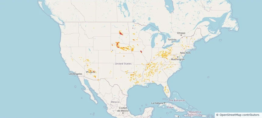
Historical Hail — 2025-08-05 — regional hail footprint preview
Storm footprint preview
Aug 5, 2025 7:00 AM to Aug 6, 2025 7:00 AM CST

Historical Hail — 2025-08-05

Hail as large as 2.75 inches was reported near Bowdle, SOUTH DAKOTA. Wind up to 114 mph was reported near 2 miles northeast of Sandy Shore State, SD. 4 tornadoes were reported, including one near Mcpherson, SOUTH DAKOTA. The storm had 12 official hail reports.

Affected states: National, CO, IL, IN, IA, KY, MN, MO, MT, NE, NH, ND, OK, SD, WY
2.37 inRadar size estimate 100,862Population Affected 43,395Houses Affected Hail · Wind · TornadoHazards FreeAccount signup
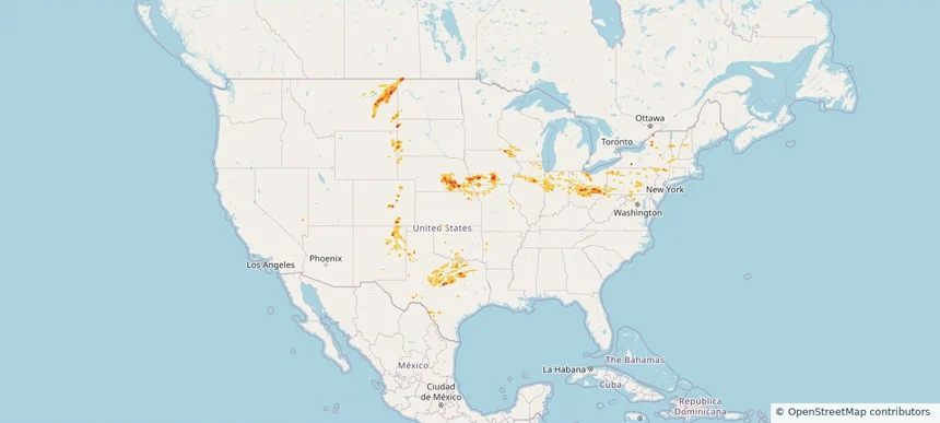
Historical Hail — 2025-07-20 — regional hail footprint preview
Storm footprint preview
Jul 20, 2025 7:00 AM to Jul 21, 2025 7:00 AM CST

Historical Hail — 2025-07-20

Hail as large as 4.50 inches was reported near Rosebud, SOUTH DAKOTA. Wind up to 105 mph was reported near Nh, NH. 10 tornadoes were reported, including one near Cherry, NEBRASKA. The storm had 17 official hail reports.

Affected states: National, CT, IL, IA, ME, MA, MN, MT, NE, NH, NY, ND, SD, VT
4.19 inRadar size estimate 178,663Population Affected 78,058Houses Affected Hail · Wind · TornadoHazards FreeAccount signup
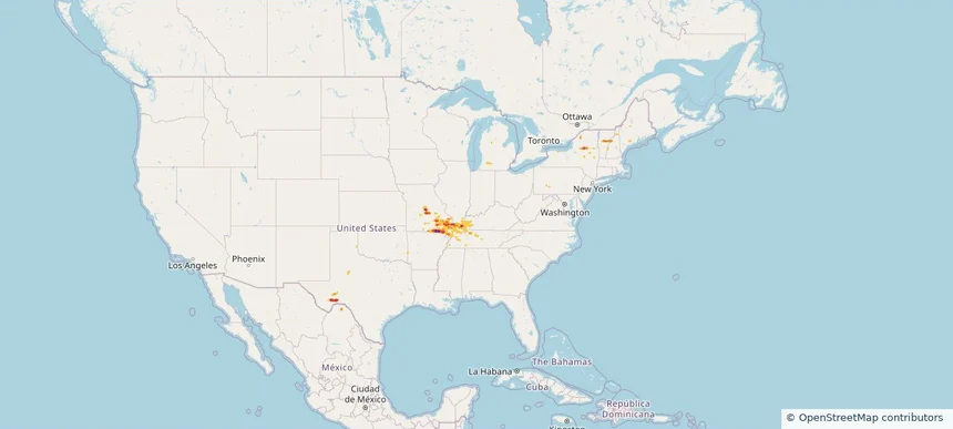
Historical Hail — 2025-07-14 — regional hail footprint preview
Storm footprint preview
Jul 14, 2025 7:00 AM to Jul 15, 2025 7:00 AM CST

Historical Hail — 2025-07-14

Hail as large as 2.00 inches was reported near Ellendale, NORTH DAKOTA. Wind up to 115 mph was reported near 9 miles west of Onida, SD. 14 tornadoes were reported, including one near Cherry, NEBRASKA. The storm had 6 official hail reports.

Affected states: National, CO, GA, LA, ME, MD, MI, MN, MS, MT, NE, NH, NM, NY, NC, ND, OH, PA, SC, SD, TN, TX, VT, VA, WI, WY
3.0 inRadar size estimate 158,069Population Affected 72,681Houses Affected Hail · Wind · TornadoHazards FreeAccount signup
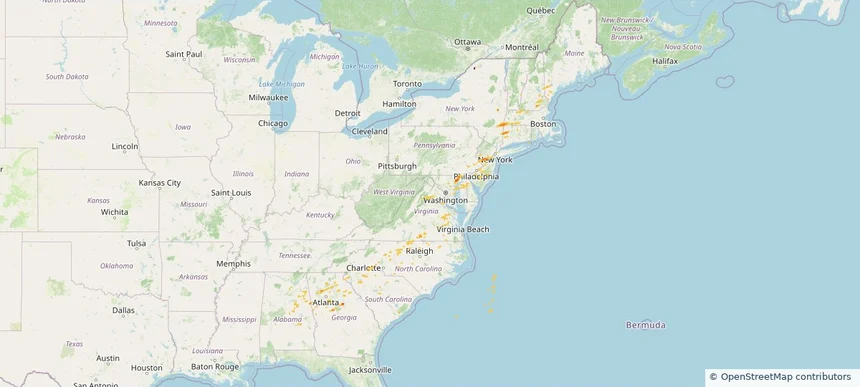
Historical Hail — 2025-07-11 — regional hail footprint preview
Storm footprint preview
Jul 11, 2025 7:00 AM to Jul 12, 2025 7:00 AM CST

Historical Hail — 2025-07-11

Hail as large as 2.00 inches was reported near Grover, COLORADO. Wind up to 98 mph was reported near 1 mile south-southwest of Cascade, IA. 40 tornadoes were reported, including one near Jones, IOWA. The storm had 23 official hail reports.

Affected states: National, AL, AR, CO, FL, GA, IL, IA, KS, LA, MD, MA, MI, MN, MS, MO, NE, NH, NM, NY, NC, OK, PA, SC, TN, TX, VT, VA, WV, WI, WY
3.0 inRadar size estimate 961,330Population Affected 415,893Houses Affected Hail · Wind · TornadoHazards FreeAccount signup
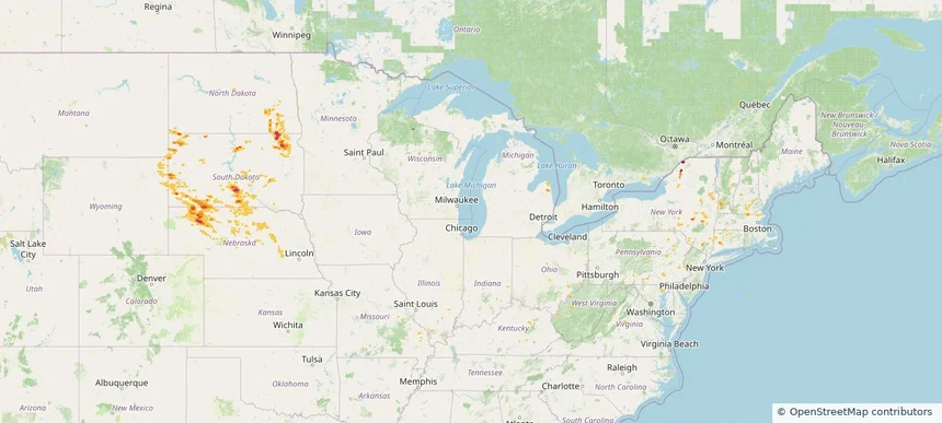
Historical Hail — 2025-07-10 — regional hail footprint preview
Storm footprint preview
Jul 10, 2025 7:00 AM to Jul 11, 2025 7:00 AM CST

Historical Hail — 2025-07-10

Hail as large as 2.50 inches was reported near Maxbass, NORTH DAKOTA. Wind up to 98 mph was reported near Ne, NE. 14 tornadoes were reported, including one near Jones, IOWA. The storm had 16 official hail reports.

Affected states: National, CO, GA, IL, IA, KS, ME, MN, MS, NE, NH, NM, NY, NC, ND, OH, OK, SC, SD, TX, VT, WI, WY
3.0 inRadar size estimate 963,720Population Affected 426,595Houses Affected Hail · Wind · TornadoHazards FreeAccount signup
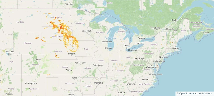
Historical Hail — 2025-07-03 — regional hail footprint preview
Storm footprint preview
Jul 3, 2025 7:00 AM to Jul 4, 2025 7:00 AM CST

Historical Hail — 2025-07-03

Hail as large as 1.75 inches was reported near (Bgm)Binghamton Arpt, NEW YORK. Wind up to 107 mph was reported near 3 miles southeast of Parshall, ND. 4 tornadoes were reported, including one near Bolivar, MISSISSIPPI. The storm had 17 official hail reports.

Affected states: National, AZ, AR, CA, CO, CT, ID, IA, LA, ME, MA, MI, MN, MS, MT, NV, NH, NJ, NM, NY, ND, OR, PA, RI, SD, UT, VT, VA, WI, WY
3.0 inRadar size estimate 826,420Population Affected 365,710Houses Affected Hail · Wind · TornadoHazards FreeAccount signup
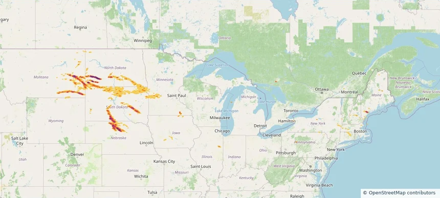
Page 1 of 2
‹ 1 2 ›

Frequently asked questions

Can I search hail maps by coverage area?

Yes. The storm library supports coverage-area filtering so you can find hail maps and hail swaths in a target service area.

What kinds of storms appear in the HailMapr library?

The library focuses on published hail events, including ready storm maps and live storms once hail has been detected and a public swath is available.

Are HailMapr storm pages useful for roofers and adjusters?

Yes. They are built to help roofers, adjusters, restoration teams, and property owners review storm footprints before purchase.