Storm library

Browse live and recent hail maps.

Review storm footprints, hail swaths, reports, and replay access. Create a free account to save your setup and move into map access when a storm matters.

Search filters
Clear
Newest storms first by default.
Don't see your storm? Request a qualifying storm map and we'll email you when it is ready.
Showing 1-24 of 234 storms · Page 1 of 10
‹ 1 2 10 ›
Request a storm map

Tell us about the storm and we'll build the map. Once it's published you'll get an email and can purchase it from the library — just like any other event.

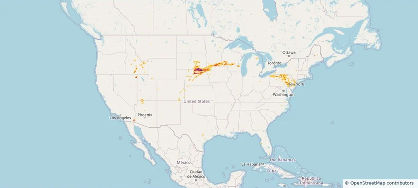
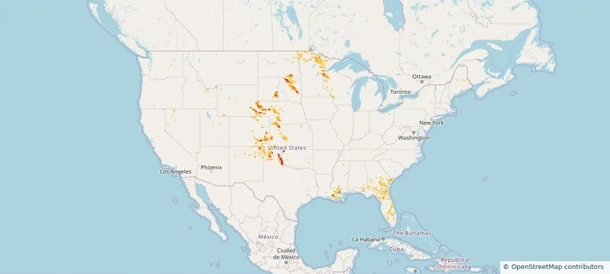
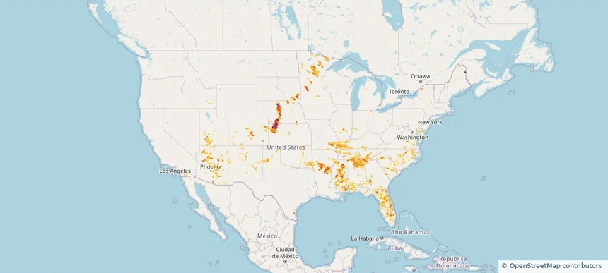
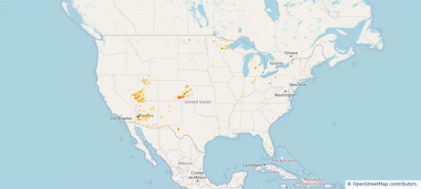
Nationwide Daily Hail, Wind & Tornado Map - September 30, 2026 — regional hail footprint preview
Storm footprint preview
Sep 29, 2026 10:00 PM to Oct 1, 2026 2:00 AM CST

Nationwide Daily Hail, Wind & Tornado Map - September 30, 2026

Radar estimates hail around 3.50 inches near East Terrell, TX. Wind up to 78 mph was reported near 4 miles west of Rotan, TX. 20 tornadoes were reported, including one near 7 miles west-northwest of Timbercreek Canyo, TX.

Affected states: National, FL, KS, ME, MN, NM, OK, TX
3.5 inRadar size estimate 6,922Population Affected 3,009Houses Affected Hail · Wind · TornadoHazards FreeAccount signup
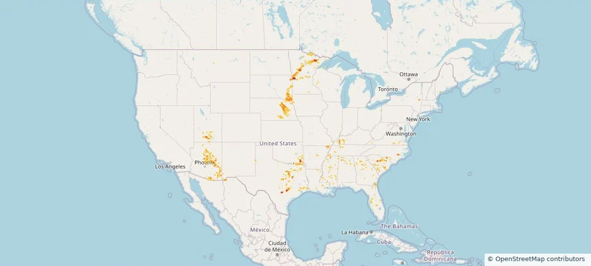
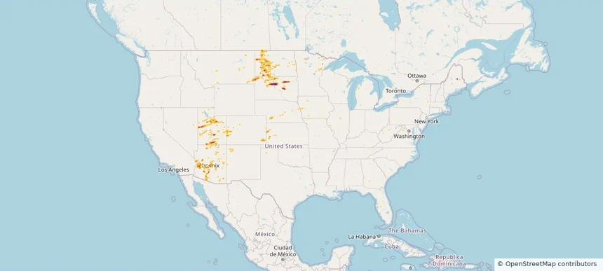
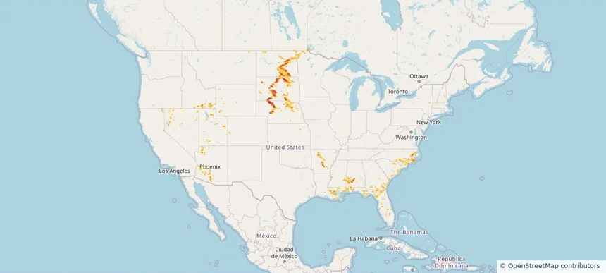
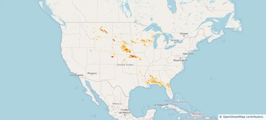
Nationwide Daily Hail, Wind & Tornado Map - September 11, 2026 — regional hail footprint preview
Storm footprint preview
Sep 10, 2026 10:00 PM to Sep 12, 2026 1:50 AM CST

Nationwide Daily Hail, Wind & Tornado Map - September 11, 2026

Hail as large as 2.50 inches was reported near 3 miles southeast of Converse, TX. Wind up to 78 mph was reported near 2 miles east of Deming, NM. 3 tornadoes were reported, including one near 4 miles northeast of Artichoke, MN. The storm had 17 official hail reports.

Affected states: National, AL, AZ, AR, FL, GA, ID, IN, IA, KY, LA, MN, MS, MO, NE, NM, NC, OK, SC, SD, TN, TX, UT, VA, WI
3.0 inRadar size estimate 379,853Population Affected 158,519Houses Affected Hail · Wind · TornadoHazards FreeAccount signup
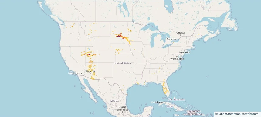
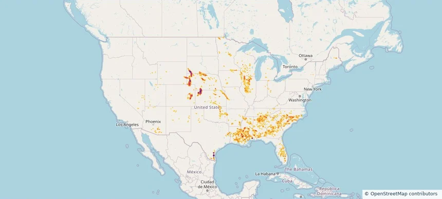
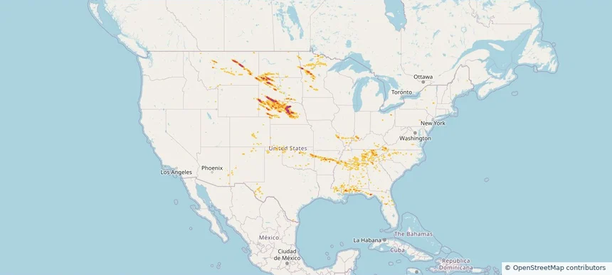
Nationwide Daily Hail & Wind Map - September 8, 2026 — regional hail footprint preview
Storm footprint preview
Sep 7, 2026 10:00 PM to Sep 9, 2026 1:50 AM CST

Nationwide Daily Hail & Wind Map - September 8, 2026

Hail as large as 2.25 inches was reported near Ankeny, IA. Wind up to 104 mph was reported near 28 miles southeast of Bosque Del Apache, NM. The storm had 2 official hail reports.

Affected states: National, AZ, AR, CA, CO, FL, IA, KS, LA, MN, MS, NE, NM, ND, SD, TX, WI
3.5 inRadar size estimate 534,797Population Affected 229,253Houses Affected Hail · WindHazards FreeAccount signup
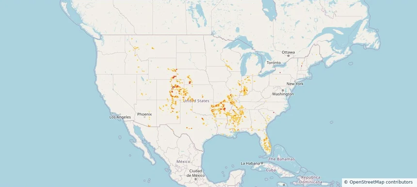
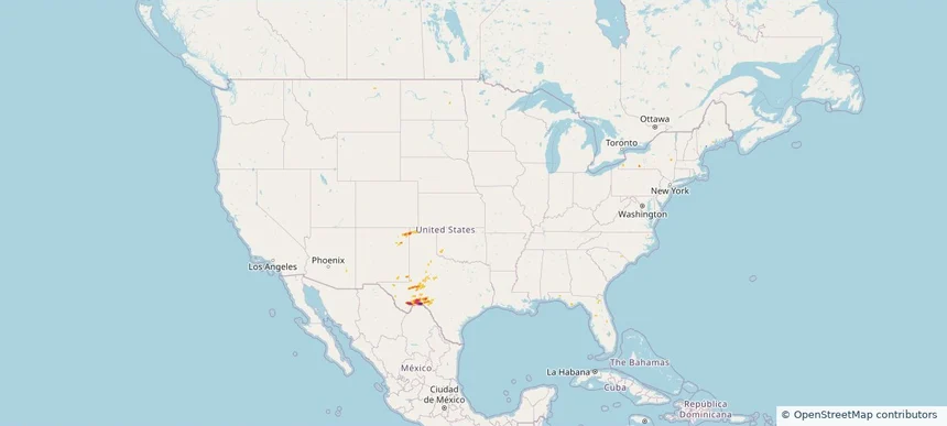
Nationwide Daily Hail, Wind & Tornado Map - September 7, 2026 — regional hail footprint preview
Storm footprint preview
Sep 6, 2026 10:00 PM to Sep 8, 2026 1:50 AM CST

Nationwide Daily Hail, Wind & Tornado Map - September 7, 2026

Hail as large as 3.25 inches was reported near 14 miles southwest of Landusky, MT. Wind up to 84 mph was reported near 8 miles south of Sibley Peak, WY. 3 tornadoes were reported, including one near 2 miles west of Hammond, LA. The storm had 4 official hail reports.

Affected states: National, AL, AR, CO, FL, GA, ID, IA, KS, LA, MN, MS, MO, MT, NE, ND, SD, TX, WY
4.27 inRadar size estimate 403,964Population Affected 164,134Houses Affected Hail · Wind · TornadoHazards FreeAccount signup
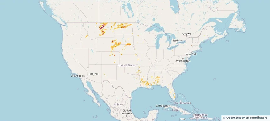
Nationwide Daily Hail, Wind & Tornado Map - September 6, 2026 — regional hail footprint preview
Storm footprint preview
Sep 5, 2026 10:00 PM to Sep 7, 2026 1:52 AM CST

Nationwide Daily Hail, Wind & Tornado Map - September 6, 2026

Hail as large as 3.25 inches was reported near 14 miles southwest of Landusky, MT. Wind up to 96 mph was reported near 3 miles north-northeast of Kingsley Dam, NE. 2 tornadoes were reported, including one near 8 miles south-southwest of Arnegard, ND. The storm had 23 official hail reports.

Affected states: National, AL, AR, CO, FL, GA, ID, IA, KS, KY, LA, ME, MN, MS, MO, MT, NE, NM, NC, ND, OK, OR, SC, SD, TN, TX, UT, VA, WY
4.27 inRadar size estimate 772,536Population Affected 329,068Houses Affected Hail · Wind · TornadoHazards FreeAccount signup
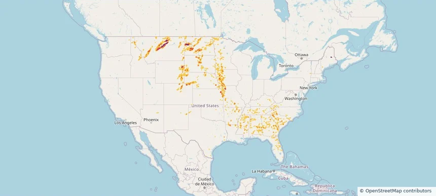
Nationwide Daily Hail, Wind & Tornado Map - September 5, 2026 — regional hail footprint preview
Storm footprint preview
Sep 4, 2026 10:00 PM to Sep 6, 2026 1:45 AM CST

Nationwide Daily Hail, Wind & Tornado Map - September 5, 2026

Hail as large as 2.50 inches was reported near 5 miles west-northwest of Alliance, NE. Wind up to 96 mph was reported near 3 miles north-northeast of Kingsley Dam, NE. 2 tornadoes were reported, including one near 3 miles east of Folkstone, NC. The storm had 20 official hail reports.

Affected states: National, AL, CO, FL, GA, IL, IN, IA, KS, KY, LA, ME, MI, MN, MS, MO, MT, NE, NM, NC, ND, OH, OK, SC, SD, TN, TX, VA, WV
5.91 inRadar size estimate 1,664,650Population Affected 711,353Houses Affected Hail · Wind · TornadoHazards FreeAccount signup
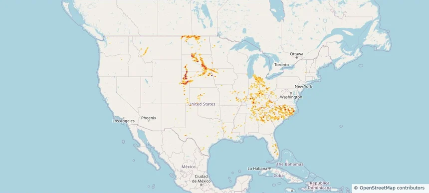
Nationwide Daily Hail & Wind Map - September 4, 2026 — regional hail footprint preview
Storm footprint preview
Sep 3, 2026 10:00 PM to Sep 5, 2026 1:45 AM CST

Nationwide Daily Hail & Wind Map - September 4, 2026

Hail as large as 1.75 inches was reported near Mayville, WI. Wind up to 93 mph was reported near 3 miles northeast of Aspermont, TX. The storm had 8 official hail reports.

Affected states: National, AL, DE, DC, FL, IL, IN, IA, KS, KY, LA, MD, MI, MN, MS, MO, NE, NJ, NM, NC, ND, OH, OK, PA, SD, TN, TX, VA, WV, WI
3.0 inRadar size estimate 1,774,923Population Affected 829,784Houses Affected Hail · WindHazards FreeAccount signup
Fergus Falls, MN — September 03, 2026 — regional hail footprint preview
Storm footprint preview

Local hail summary for the Fergus Falls area: 1.47 square miles of estimated ground-hail footprint; highest mapped band 1.5+ inches. 1 official hail report(s) within the summary area. Exposure estimates are not confirmed property damage. Open the map to explore the full coverage included in your access. Statistics cover the mapped hail footprint inside the Census boundary of Fergus Falls, MN, not the entire region. The place had 14,119 residents in the 2020 Census. A boundary intersection does not mean the whole community was hit. Estimated housing exposure: 116 units in 1-inch-or-larger bands, including 79 in 1.5-inch-or-larger bands and 0 in 2-inch-or-larger bands.

Affected states: Fergus Falls area, MN
1.5+ inRadar size estimate 246Population Affected 116Houses Affected HailHazards FreeAccount signup
Nationwide Daily Hail, Wind & Tornado Map - September 3, 2026 — regional hail footprint preview
Storm footprint preview
Sep 2, 2026 10:00 PM to Sep 4, 2026 1:45 AM CST

Nationwide Daily Hail, Wind & Tornado Map - September 3, 2026

Hail as large as 2.30 inches was reported near 3 miles west-northwest of Elbow Lake, MN. Wind up to 86 mph was reported near 1 mile southwest of Braddock, PA. 2 tornadoes were reported, including one near Lincoln Park, MI. The storm had 20 official hail reports.

Affected states: National, AL, AR, CO, DE, DC, FL, IL, IN, IA, LA, MD, MI, MN, MS, MT, NE, NJ, NY, NC, ND, OH, PA, SD, TX, VA, WV, WI
3.0 inRadar size estimate 3,351,519Population Affected 1,557,630Houses Affected Hail · Wind · TornadoHazards FreeAccount signup
Owatonna, MN — September 02, 2026 — regional hail footprint preview
Storm footprint preview

Local hail summary for the Owatonna area: 13.48 square miles of estimated ground-hail footprint; highest mapped band 1.5+ inches. 1 official hail report(s) within the summary area. Exposure estimates are not confirmed property damage. Open the map to explore the full coverage included in your access. Statistics cover the mapped hail footprint inside the Census boundary of Owatonna, MN, not the entire region. The place had 26,420 residents in the 2020 Census. A boundary intersection does not mean the whole community was hit. Estimated housing exposure: 10,185 units in 1-inch-or-larger bands, including 366 in 1.5-inch-or-larger bands and 0 in 2-inch-or-larger bands.

Affected states: Owatonna area, MN
1.5+ inRadar size estimate 26,349Population Affected 11,116Houses Affected HailHazards FreeAccount signup
Nationwide Daily Hail, Wind & Tornado Map - September 2, 2026 — regional hail footprint preview
Storm footprint preview
Sep 1, 2026 10:00 PM to Sep 3, 2026 1:45 AM CST

Nationwide Daily Hail, Wind & Tornado Map - September 2, 2026

Hail as large as 4.00 inches was reported near 1 mile west of Easton, MN. Wind up to 100 mph was reported near 4 miles north of Britt, IA. 10 tornadoes were reported, including one near Olcott, NY. The storm had 14 official hail reports.

Affected states: National, AZ, CO, FL, ID, IA, MD, MI, MN, MS, MT, NE, NY, NC, ND, OH, PA, SD, TX, UT, VA, WV, WI
3.0 inRadar size estimate 1,614,919Population Affected 717,403Houses Affected Hail · Wind · TornadoHazards FreeAccount signup
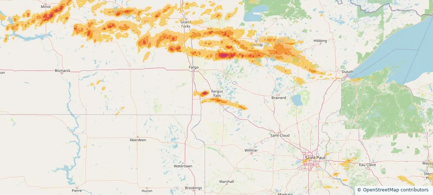
Owatonna, MN — September 01, 2026 — regional hail footprint preview
Storm footprint preview

Local hail summary for the Owatonna area: 13.48 square miles of estimated ground-hail footprint; highest mapped band 1.5+ inches. 1 official hail report(s) within the summary area. Exposure estimates are not confirmed property damage. Open the map to explore the full coverage included in your access. Statistics cover the mapped hail footprint inside the Census boundary of Owatonna, MN, not the entire region. The place had 26,420 residents in the 2020 Census. A boundary intersection does not mean the whole community was hit. Estimated housing exposure: 10,185 units in 1-inch-or-larger bands, including 338 in 1.5-inch-or-larger bands and 0 in 2-inch-or-larger bands.

Affected states: Owatonna area, MN
1.5+ inRadar size estimate 26,349Population Affected 11,116Houses Affected HailHazards FreeAccount signup
Nationwide Daily Hail, Wind & Tornado Map - September 1, 2026 — regional hail footprint preview
Storm footprint preview
Aug 31, 2026 10:00 PM to Sep 2, 2026 1:45 AM CST

Nationwide Daily Hail, Wind & Tornado Map - September 1, 2026

Hail as large as 4.00 inches was reported near 1 mile west of Easton, MN. Wind up to 130 mph was reported near 4 miles north-northwest of Fordyce, NE. 3 tornadoes were reported, including one near 4 miles west-northwest of Gaines, PA. The storm had 21 official hail reports.

Affected states: National, AZ, CA, CO, DE, FL, ID, IA, KS, MD, MI, MN, NE, NV, NJ, NY, PA, SD, TX, UT, WI, WY
4.49 inRadar size estimate 821,826Population Affected 333,181Houses Affected Hail · Wind · TornadoHazards FreeAccount signup
Nationwide Daily Hail & Wind Map - August 31, 2026 — regional hail footprint preview
Storm footprint preview
Aug 30, 2026 10:00 PM to Sep 1, 2026 1:45 AM CST

Nationwide Daily Hail & Wind Map - August 31, 2026

Hail as large as 1.00 inches was reported near 2 miles south-southwest of Caliente, NV. Wind up to 89 mph was reported near 7 miles southeast of Lamar, CO. The storm had 6 official hail reports.

Affected states: National, AZ, CO, FL, IN, KS, MD, MI, MN, NE, NV, NM, NY, ND, OH, PA, TX, UT, WY
3.0 inRadar size estimate 110,238Population Affected 43,609Houses Affected Hail · WindHazards FreeAccount signup
Nationwide Daily Hail & Wind Map - August 30, 2026 — regional hail footprint preview
Storm footprint preview
Aug 29, 2026 10:00 PM to Aug 31, 2026 1:45 AM CST

Nationwide Daily Hail & Wind Map - August 30, 2026

Hail as large as 1.75 inches was reported near 4 miles northeast of Miller Dale Colony, SD. Wind up to 115 mph was reported near 1 mile north of Buffalo, SD. The storm had 4 official hail reports.

Affected states: National, AZ, CA, CO, FL, IL, IA, KS, ME, MN, MT, NE, NM, ND, SD, TX, UT, WY
3.47 inRadar size estimate 103,758Population Affected 42,975Houses Affected Hail · WindHazards FreeAccount signup
Nationwide Daily Hail & Wind Map - August 29, 2026 — regional hail footprint preview
Storm footprint preview
Aug 28, 2026 10:00 PM to Aug 30, 2026 1:45 AM CST

Nationwide Daily Hail & Wind Map - August 29, 2026

Hail as large as 1.75 inches was reported near 1 mile northeast of Lynndyl, UT. Wind up to 115 mph was reported near 1 mile northeast of Lynndyl, UT. The storm had 7 official hail reports.

Affected states: National, AL, AZ, CO, FL, GA, IA, KS, MN, MT, NE, NV, ND, SD, TX, UT, WA, WY
3.47 inRadar size estimate 318,804Population Affected 151,786Houses Affected Hail · WindHazards FreeAccount signup
Nationwide Daily Hail & Wind Map - August 26, 2026 — regional hail footprint preview
Storm footprint preview
Aug 25, 2026 10:00 PM to Aug 27, 2026 1:45 AM CST

Nationwide Daily Hail & Wind Map - August 26, 2026

Hail as large as 2.50 inches was reported near 12 miles northeast of North Cheyenne, WY. Wind up to 84 mph was reported near 8 miles south of Sibley Peak, WY. The storm had 28 official hail reports.

Affected states: National, AL, AZ, AR, CO, FL, ID, IL, IN, KS, KY, LA, MI, MN, MS, MO, MT, NE, NH, NM, OH, OK, TN, TX, UT, WI, WY
3.0 inRadar size estimate 900,599Population Affected 374,590Houses Affected Hail · WindHazards FreeAccount signup
Nationwide Daily Hail & Wind Map - August 25, 2026 — regional hail footprint preview
Storm footprint preview
Aug 24, 2026 10:00 PM to Aug 26, 2026 1:45 AM CST

Nationwide Daily Hail & Wind Map - August 25, 2026

Hail as large as 3.00 inches was reported near Gould, OK. Wind up to 97 mph was reported near 1 mile east of Clayton, NM. The storm had 16 official hail reports.

Affected states: National, AL, CA, CO, FL, GA, ID, KS, LA, MN, MT, NE, NV, NM, ND, OK, SC, SD, TX, UT, WI, WY
3.5 inRadar size estimate 240,505Population Affected 109,890Houses Affected Hail · WindHazards FreeAccount signup
Nationwide Daily Hail, Wind & Tornado Map - August 24, 2026 — regional hail footprint preview
Storm footprint preview
Aug 23, 2026 10:00 PM to Aug 25, 2026 1:45 AM CST

Nationwide Daily Hail, Wind & Tornado Map - August 24, 2026

Hail as large as 3.25 inches was reported near 2 miles northwest of Tolna, ND. Wind up to 89 mph was reported near 5 miles west of Wishek, ND. A tornado was reported near 4 miles north-northwest of Atlantic, NC. The storm had 6 official hail reports.

Affected states: National, AL, AZ, AR, FL, GA, ID, LA, ME, MN, MS, NE, NV, NY, NC, ND, OR, PA, SC, SD, TX, UT, WY
3.5 inRadar size estimate 279,529Population Affected 127,320Houses Affected Hail · Wind · TornadoHazards FreeAccount signup
Nationwide Daily Hail, Wind & Tornado Map - August 21, 2026 — regional hail footprint preview
Storm footprint preview
Aug 20, 2026 10:00 PM to Aug 22, 2026 1:45 AM CST

Nationwide Daily Hail, Wind & Tornado Map - August 21, 2026

Hail as large as 3.00 inches was reported near 6 miles east-northeast of Oelrichs, SD. Wind up to 96 mph was reported near 2 miles east-southeast of Oakley, KS. 6 tornadoes were reported, including one near 4 miles southeast of Sublette, IL. The storm had 17 official hail reports.

Affected states: National, AL, AZ, AR, CO, FL, GA, ID, IL, IA, KS, LA, MI, MN, MS, MO, NE, NV, NM, NY, NC, OH, OK, SC, SD, TN, TX, UT, WI, WY
5.45 inRadar size estimate 1,806,710Population Affected 794,437Houses Affected Hail · Wind · TornadoHazards FreeAccount signup
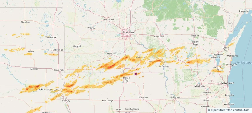
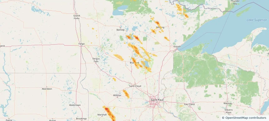
Brainerd, MN — August 20, 2026 — regional hail footprint preview
Storm footprint preview

Local hail summary for the Brainerd area: 10.01 square miles of estimated ground-hail footprint; highest mapped band 1+ inches. 0 official hail report(s) within the summary area. Exposure estimates are not confirmed property damage. Open the map to explore the full coverage included in your access. Statistics cover the mapped hail footprint inside the Census boundary of Brainerd, MN, not the entire region. The place had 14,395 residents in the 2020 Census. A boundary intersection does not mean the whole community was hit. Estimated housing exposure: 3,554 units in 1-inch-or-larger bands, including 0 in 1.5-inch-or-larger bands and 0 in 2-inch-or-larger bands.

Affected states: Brainerd area, MN
1+ inRadar size estimate 12,701Population Affected 5,723Houses Affected HailHazards FreeAccount signup
Nationwide Daily Hail, Wind & Tornado Map - August 20, 2026 — regional hail footprint preview
Storm footprint preview
Aug 19, 2026 10:00 PM to Aug 21, 2026 1:45 AM CST

Nationwide Daily Hail, Wind & Tornado Map - August 20, 2026

Hail as large as 2.50 inches was reported near 4 miles northeast of Vesta, MN. Wind up to 96 mph was reported near 2 miles east-southeast of Oakley, KS. 15 tornadoes were reported, including one near 3 miles east-southeast of Cunningham, KY. The storm had 34 official hail reports.

Affected states: National, AL, AZ, AR, CA, CO, DE, FL, GA, ID, IL, IN, KS, KY, LA, ME, MD, MN, MS, MO, NE, NJ, NM, NY, NC, OK, PA, SC, SD, TN, TX, UT, VA, WY
3.5 inRadar size estimate 1,296,920Population Affected 582,615Houses Affected Hail · Wind · TornadoHazards FreeAccount signup
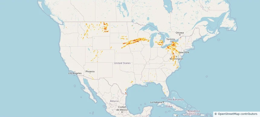
Nationwide Daily Hail, Wind & Tornado Map - August 18, 2026 — regional hail footprint preview
Storm footprint preview
Aug 17, 2026 10:00 PM to Aug 19, 2026 1:45 AM CST

Nationwide Daily Hail, Wind & Tornado Map - August 18, 2026

Hail as large as 2.50 inches was reported near Cedar Rapids, NE. Wind up to 91 mph was reported near Grand Island Airport, NE. A tornado was reported near 1 mile south-southwest of Hubertus, WI. The storm had 21 official hail reports.

Affected states: National, AL, AR, CO, FL, GA, ID, IA, KS, LA, MI, MN, MS, MO, MT, NE, NM, NC, SD, UT, WI, WY
3.0 inRadar size estimate 598,199Population Affected 264,392Houses Affected Hail · Wind · TornadoHazards FreeAccount signup
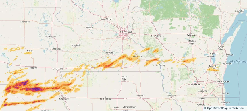
Nationwide Daily Hail & Wind Map - August 17, 2026 — regional hail footprint preview
Storm footprint preview
Aug 16, 2026 10:00 PM to Aug 18, 2026 1:45 AM CST

Nationwide Daily Hail & Wind Map - August 17, 2026

Hail as large as 2.50 inches was reported near 3 miles north-northwest of New York Mills, MN. Wind up to 112 mph was reported near 7 miles west of Ardmore, SD. The storm had 14 official hail reports.

Affected states: National, AL, AZ, AR, CO, FL, GA, ID, IL, IN, KS, KY, LA, MD, MN, MS, MO, MT, NE, NM, NC, ND, OK, PA, SC, SD, TN, TX, UT, VA, WY
3.5 inRadar size estimate 534,997Population Affected 231,677Houses Affected Hail · WindHazards FreeAccount signup
Page 1 of 10
‹ 1 2 10 ›

Frequently asked questions

Can I search hail maps by coverage area?

Yes. The storm library supports coverage-area filtering so you can find hail maps and hail swaths in a target service area.

What kinds of storms appear in the HailMapr library?

The library focuses on published hail events, including ready storm maps and live storms once hail has been detected and a public swath is available.

Are HailMapr storm pages useful for roofers and adjusters?

Yes. They are built to help roofers, adjusters, restoration teams, and property owners review storm footprints before purchase.