Storm library

Browse live and recent hail maps.

Review storm footprints, hail swaths, reports, and replay access. Create a free account to save your setup and move into map access when a storm matters.

Search filters
Clear
Newest storms first by default.
Don't see your storm? Request a qualifying storm map and we'll email you when it is ready.
Showing 1-24 of 222 storms · Page 1 of 10
‹ 1 2 10 ›
Request a storm map

Tell us about the storm and we'll build the map. Once it's published you'll get an email and can purchase it from the library — just like any other event.

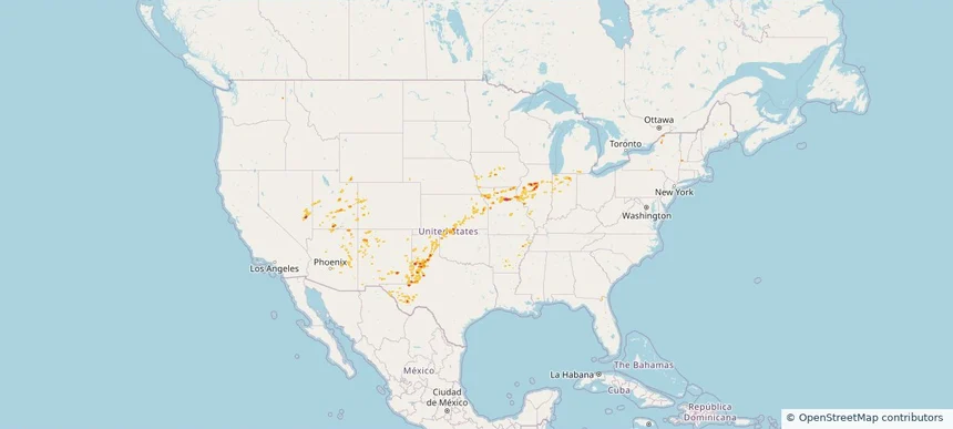
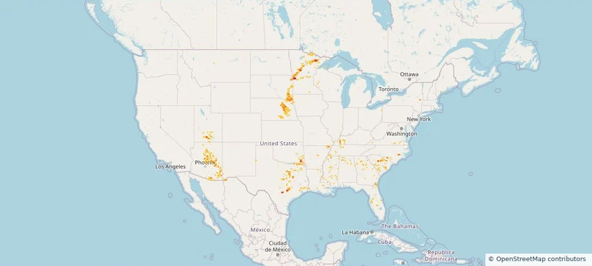
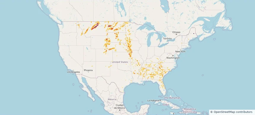
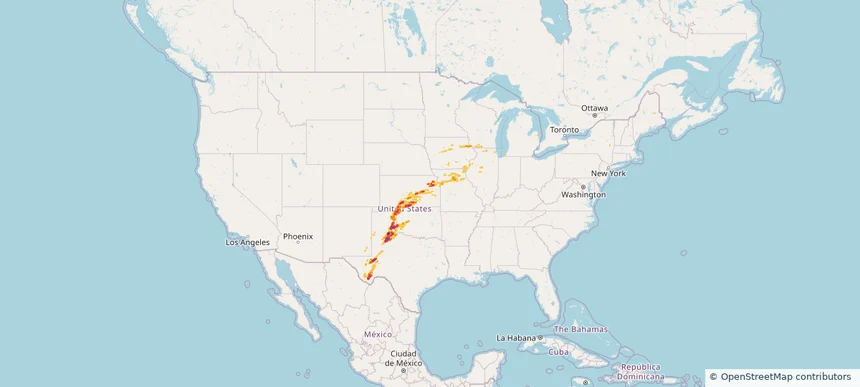
Nationwide Daily Hail, Wind & Tornado Map - October 13, 2026 — regional hail footprint preview
Storm footprint preview
Oct 12, 2026 10:00 PM to Oct 14, 2026 2:00 AM CST

Nationwide Daily Hail, Wind & Tornado Map - October 13, 2026

Hail as large as 65.00 inches was reported near 3 miles west of Goodlett, TX. Wind up to 101 mph was reported near 3 miles west of Goodlett, TX. A tornado was reported near 2 miles west of Hardtner, KS. The storm had 15 official hail reports.

Affected states: National, IL, IA, KS, MO, NM, OH, OK, TX, WI
4.25 inRadar size estimate 536,409Population Affected 234,111Houses Affected Hail · Wind · TornadoHazards FreeAccount signup
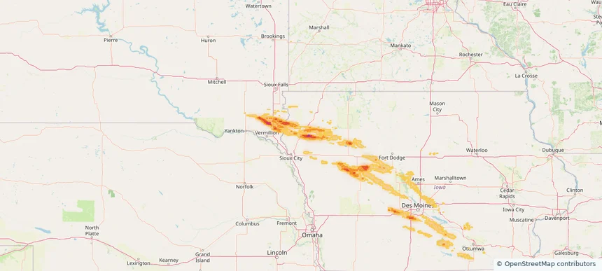
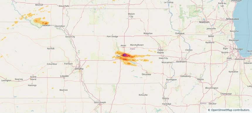
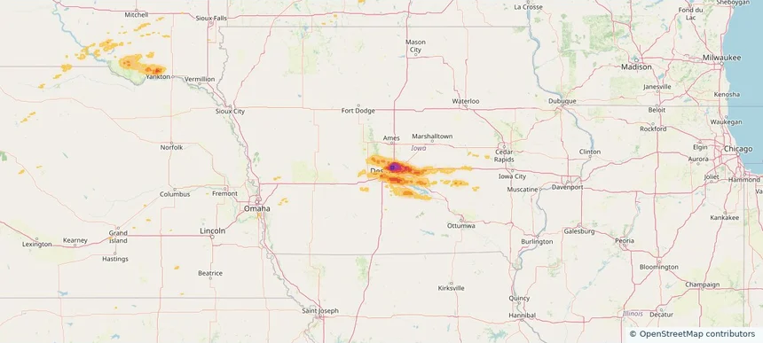
Le Mars, IA — October 09, 2026 — regional hail footprint preview
Storm footprint preview

Local hail summary for the Le Mars area: 7.60 square miles of estimated ground-hail footprint; highest mapped band 1+ inches. 0 official hail report(s) within the summary area. Exposure estimates are not confirmed property damage. Open the map to explore the full coverage included in your access. Statistics cover the mapped hail footprint inside the Census boundary of Le Mars, IA, not the entire region. The place had 10,571 residents in the 2020 Census. A boundary intersection does not mean the whole community was hit. Estimated housing exposure: 3,777 units in 1-inch-or-larger bands, including 0 in 1.5-inch-or-larger bands and 0 in 2-inch-or-larger bands.

Affected states: Le Mars area, IA
1+ inRadar size estimate 10,461Population Affected 4,490Houses Affected HailHazards FreeAccount signup
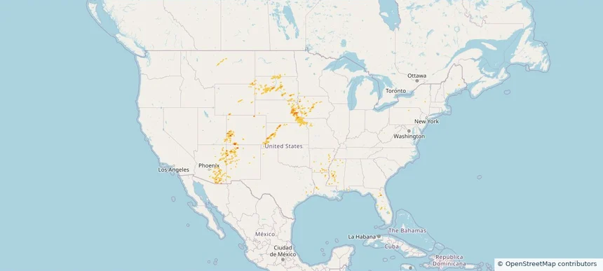
Nationwide Daily Hail, Wind & Tornado Map - October 9, 2026 — regional hail footprint preview
Storm footprint preview
Oct 8, 2026 10:00 PM to Oct 10, 2026 2:00 AM CST

Nationwide Daily Hail, Wind & Tornado Map - October 9, 2026

Hail as large as 1.75 inches was reported near 3 miles east of Redfield, IA. A tornado was reported near 1 mile north of Green Point, FL. The storm had 6 official hail reports.

Affected states: National, FL, IA, LA, SD, TX
2.0 inRadar size estimate 105,010Population Affected 45,842Houses Affected Hail · Wind · TornadoHazards FreeAccount signup
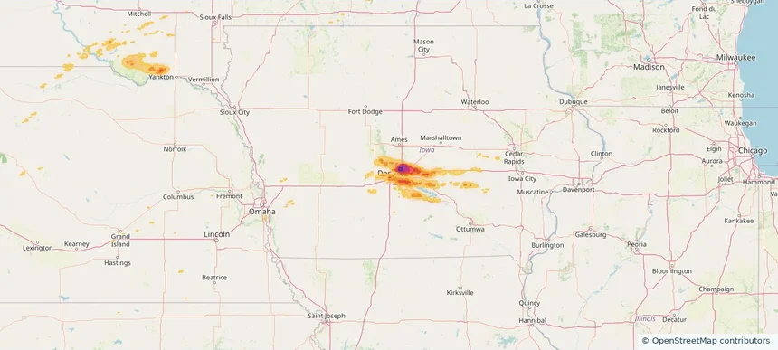
Le Mars, IA — October 08, 2026 — regional hail footprint preview
Storm footprint preview

Local hail summary for the Le Mars area: 7.60 square miles of estimated ground-hail footprint; highest mapped band 1+ inches. 0 official hail report(s) within the summary area. Exposure estimates are not confirmed property damage. Open the map to explore the full coverage included in your access. Statistics cover the mapped hail footprint inside the Census boundary of Le Mars, IA, not the entire region. The place had 10,571 residents in the 2020 Census. A boundary intersection does not mean the whole community was hit. Estimated housing exposure: 3,777 units in 1-inch-or-larger bands, including 0 in 1.5-inch-or-larger bands and 0 in 2-inch-or-larger bands.

Affected states: Le Mars area, IA
1+ inRadar size estimate 10,461Population Affected 4,490Houses Affected HailHazards FreeAccount signup
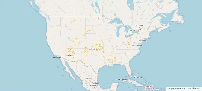
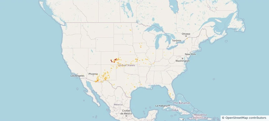
Nationwide Daily Hail & Wind Map - September 20, 2026 — regional hail footprint preview
Storm footprint preview
Sep 19, 2026 10:00 PM to Sep 21, 2026 1:50 AM CST

Nationwide Daily Hail & Wind Map - September 20, 2026

Hail as large as 4.00 inches was reported near 3 miles south of Chivington, CO. Wind up to 86 mph was reported near Wichita Eisenhower Airp, KS. The storm had 11 official hail reports.

Affected states: National, AL, CO, FL, GA, IL, IN, IA, KS, KY, MS, MO, NE, NM, NC, OH, OK, SC, SD, TN, TX, WV, WY
2.96 inRadar size estimate 371,009Population Affected 155,196Houses Affected Hail · WindHazards FreeAccount signup
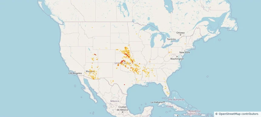
Nationwide Daily Hail, Wind & Tornado Map - September 19, 2026 — regional hail footprint preview
Storm footprint preview
Sep 18, 2026 10:00 PM to Sep 20, 2026 1:59 AM CST

Nationwide Daily Hail, Wind & Tornado Map - September 19, 2026

Hail as large as 3.00 inches was reported near 7 miles southwest of Bethune, CO. Wind up to 93 mph was reported near 4 miles north-northwest of Hope, KS. A tornado was reported near 15 miles southeast of Saint Stephens, WY. The storm had 23 official hail reports.

Affected states: National, AL, AZ, CO, FL, GA, IL, IA, KS, KY, MO, NE, NM, OH, OK, SC, SD, TN, TX, UT, VA, WV, WY
3.0 inRadar size estimate 507,414Population Affected 225,618Houses Affected Hail · Wind · TornadoHazards FreeAccount signup
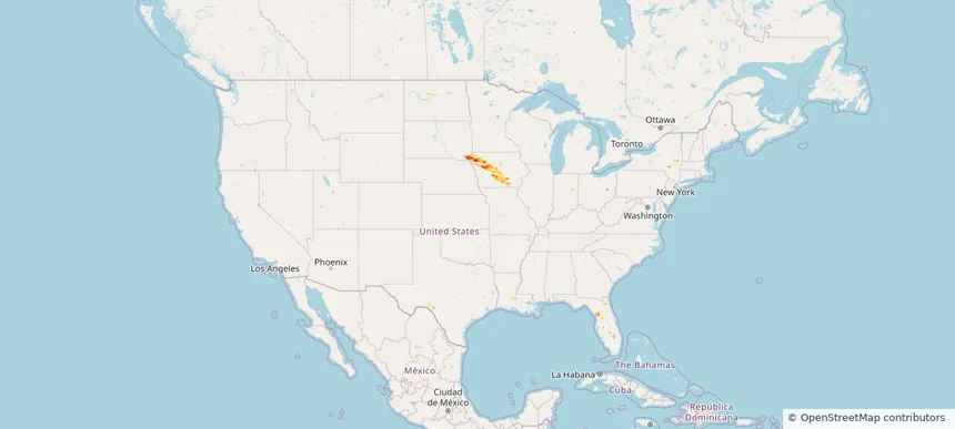
Nationwide Daily Hail, Wind & Tornado Map - September 18, 2026 — regional hail footprint preview
Storm footprint preview
Sep 17, 2026 10:00 PM to Sep 19, 2026 1:50 AM CST

Nationwide Daily Hail, Wind & Tornado Map - September 18, 2026

Hail as large as 2.00 inches was reported near 3 miles south-southwest of Layton, UT. Wind up to 79 mph was reported near 5 miles east-southeast of Colfax, NC. 4 tornadoes were reported, including one near 2 miles east of Fruit Heights, UT. The storm had 11 official hail reports.

Affected states: National, AZ, CO, FL, ID, IL, IN, IA, KS, KY, MO, MT, NE, NV, NM, NY, NC, OR, SC, SD, TN, TX, UT, VA, WY
2.22 inRadar size estimate 392,782Population Affected 137,355Houses Affected Hail · Wind · TornadoHazards FreeAccount signup
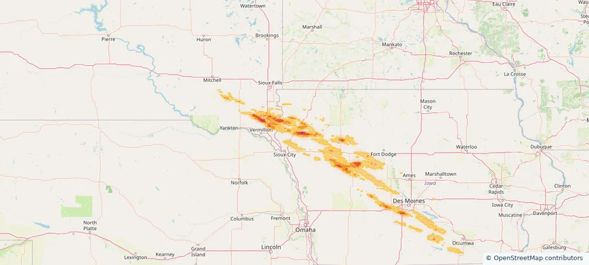
Nationwide Daily Hail, Wind & Tornado Map - September 17, 2026 — regional hail footprint preview
Storm footprint preview
Sep 16, 2026 10:00 PM to Sep 18, 2026 1:50 AM CST

Nationwide Daily Hail, Wind & Tornado Map - September 17, 2026

Hail as large as 2.50 inches was reported near 1 mile north-northeast of Rose, ID. Wind up to 70 mph was reported near 9 miles south-southwest of Mud Lake, ID. A tornado was reported near 11 miles north-northeast of Chappell, NE. The storm had 5 official hail reports.

Affected states: National, AZ, CA, CO, ID, IL, IN, IA, KY, MO, NE, NM, NY, OH, OR, UT, WY
2.5 inRadar size estimate 152,922Population Affected 62,918Houses Affected Hail · Wind · TornadoHazards FreeAccount signup
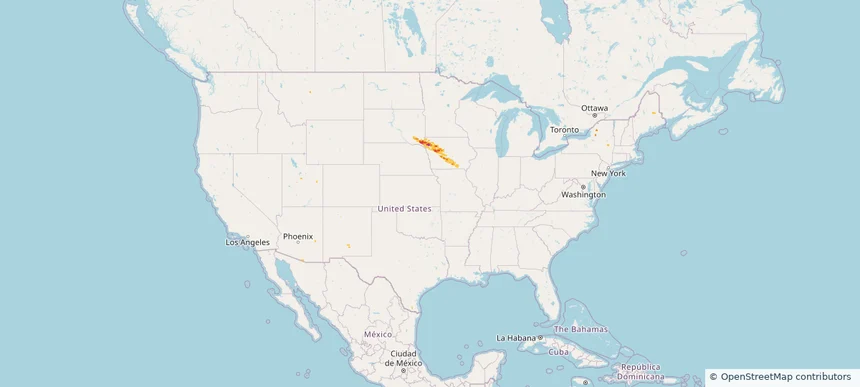
Nationwide Daily Hail & Wind Map - September 16, 2026 — regional hail footprint preview
Storm footprint preview
Sep 15, 2026 10:00 PM to Sep 17, 2026 1:50 AM CST

Nationwide Daily Hail & Wind Map - September 16, 2026

Hail as large as 1.25 inches was reported near 2 miles northeast of Linn Creek, MO. Wind up to 77 mph was reported near 3 miles south of Faust, UT. The storm had 5 official hail reports.

Affected states: National, AZ, CA, CO, ID, IL, IN, IA, MI, MO, NV, NM, OH, OK, OR, TX, UT, WY
2.5 inRadar size estimate 92,847Population Affected 47,700Houses Affected Hail · WindHazards FreeAccount signup
Nationwide Daily Hail & Wind Map - September 15, 2026 — regional hail footprint preview
Storm footprint preview
Sep 14, 2026 10:00 PM to Sep 16, 2026 1:50 AM CST

Nationwide Daily Hail & Wind Map - September 15, 2026

Hail as large as 2.00 inches was reported near Edgerton, KS. Wind up to 96 mph was reported near 1 mile south-southeast of Bear Lake, IN. The storm had 2 official hail reports.

Affected states: National, AZ, AR, CO, IL, IN, IA, KS, MI, MO, NE, NV, NM, OK, TX, UT, WY
2.5 inRadar size estimate 193,352Population Affected 87,654Houses Affected Hail · WindHazards FreeAccount signup
Nationwide Daily Hail, Wind & Tornado Map - September 14, 2026 — regional hail footprint preview
Storm footprint preview
Sep 13, 2026 10:00 PM to Sep 15, 2026 1:50 AM CST

Nationwide Daily Hail, Wind & Tornado Map - September 14, 2026

Hail as large as 1.00 inches was reported near 4 miles north of Monarch, MT. Wind up to 100 mph was reported near 3 miles northeast of Guide Rock, NE. 2 tornadoes were reported, including one near 3 miles southwest of Avoca, NE. The storm had 5 official hail reports.

Affected states: National, AZ, AR, CO, FL, IA, KS, LA, MS, MO, MT, NE, NM, ND, SD, TX, UT, WY
1.46 inRadar size estimate 193,221Population Affected 85,836Houses Affected Hail · Wind · TornadoHazards FreeAccount signup
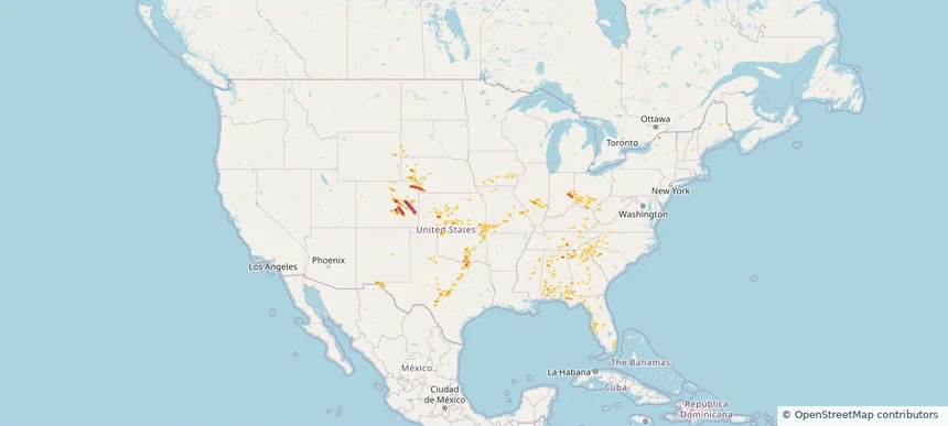
Nationwide Daily Hail & Wind Map - September 13, 2026 — regional hail footprint preview
Storm footprint preview
Sep 12, 2026 10:00 PM to Sep 14, 2026 1:50 AM CST

Nationwide Daily Hail & Wind Map - September 13, 2026

Hail as large as 1.50 inches was reported near 5 miles southwest of Dunlap, KS. Wind up to 97 mph was reported near Chanute Martin Johnson, KS. The storm had 5 official hail reports.

Affected states: National, AL, AZ, AR, CO, IA, KS, LA, MS, MT, NE, NM, NY, OH, OK, PA, SD, TN, TX, UT, WV, WY
1.99 inRadar size estimate 49,292Population Affected 23,194Houses Affected Hail · WindHazards FreeAccount signup
Nationwide Daily Hail, Wind & Tornado Map - September 12, 2026 — regional hail footprint preview
Storm footprint preview
Sep 11, 2026 10:00 PM to Sep 13, 2026 1:58 AM CST

Nationwide Daily Hail, Wind & Tornado Map - September 12, 2026

Hail as large as 2.50 inches was reported near San Antonio 8.6 Sw, TX. Wind up to 97 mph was reported near Chanute Martin Johnson, KS. 2 tornadoes were reported, including one near 1 mile east-southeast of Spring Grove, VA. The storm had 17 official hail reports.

Affected states: National, AL, AZ, AR, FL, GA, IN, IA, KS, KY, LA, MS, MO, NE, NM, NY, OK, PA, TN, TX, UT, VA, WI
3.0 inRadar size estimate 418,798Population Affected 177,078Houses Affected Hail · Wind · TornadoHazards FreeAccount signup
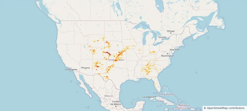
Nationwide Daily Hail, Wind & Tornado Map - September 11, 2026 — regional hail footprint preview
Storm footprint preview
Sep 10, 2026 10:00 PM to Sep 12, 2026 1:50 AM CST

Nationwide Daily Hail, Wind & Tornado Map - September 11, 2026

Hail as large as 2.50 inches was reported near 3 miles southeast of Converse, TX. Wind up to 78 mph was reported near 2 miles east of Deming, NM. 3 tornadoes were reported, including one near 4 miles northeast of Artichoke, MN. The storm had 17 official hail reports.

Affected states: National, AL, AZ, AR, FL, GA, ID, IN, IA, KY, LA, MN, MS, MO, NE, NM, NC, OK, SC, SD, TN, TX, UT, VA, WI
3.0 inRadar size estimate 379,853Population Affected 158,519Houses Affected Hail · Wind · TornadoHazards FreeAccount signup
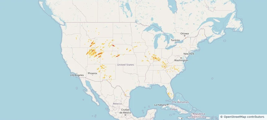
Nationwide Daily Hail, Wind & Tornado Map - September 9, 2026 — regional hail footprint preview
Storm footprint preview
Sep 8, 2026 10:00 PM to Sep 10, 2026 1:50 AM CST

Nationwide Daily Hail, Wind & Tornado Map - September 9, 2026

Hail as large as 2.00 inches was reported near 2 miles east-northeast of Colorado City, CO. Wind up to 90 mph was reported near 11 miles east-northeast of Patagonia, AZ. 2 tornadoes were reported, including one near 2 miles west-southwest of Cyclone, PA. The storm had 2 official hail reports.

Affected states: National, AZ, CO, FL, IA, KS, KY, MO, NM, ND, OH, OK, PA, TX, WV
3.0 inRadar size estimate 125,993Population Affected 51,787Houses Affected Hail · Wind · TornadoHazards FreeAccount signup
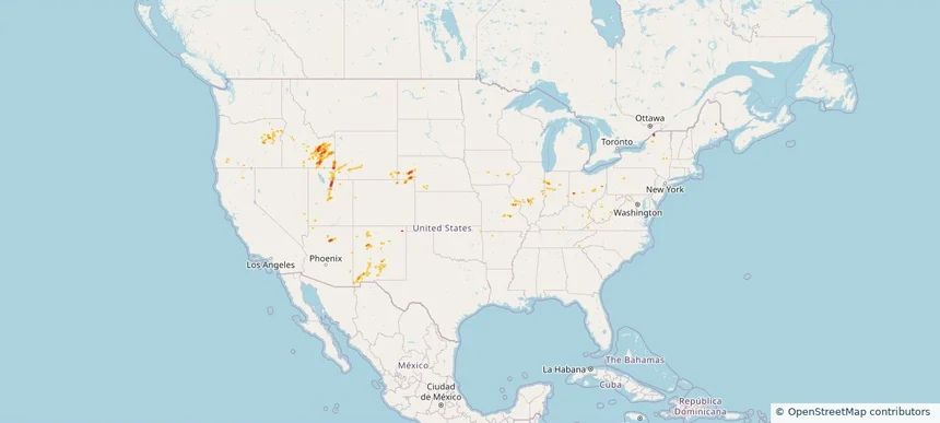
Altoona, IA — September 08, 2026 — regional hail footprint preview
Storm footprint preview

Local hail summary for the Altoona area: 10.45 square miles of estimated ground-hail footprint; highest mapped band 2+ inches. 0 official hail report(s) within the summary area. Exposure estimates are not confirmed property damage. Open the map to explore the full coverage included in your access. Statistics cover the mapped hail footprint inside the Census boundary of Altoona, IA, not the entire region. The place had 19,565 residents in the 2020 Census. A boundary intersection does not mean the whole community was hit. Estimated housing exposure: 5,938 units in 1-inch-or-larger bands, including 1,318 in 1.5-inch-or-larger bands and 0 in 2-inch-or-larger bands.

Affected states: Altoona area, IA
2+ inRadar size estimate 18,138Population Affected 7,554Houses Affected HailHazards FreeAccount signup
Ankeny, IA — September 08, 2026 — regional hail footprint preview
Storm footprint preview

Local hail summary for the Ankeny area: 26.34 square miles of estimated ground-hail footprint; highest mapped band 2.5+ inches. 1 official hail report(s) within the summary area. Exposure estimates are not confirmed property damage. Open the map to explore the full coverage included in your access. Statistics cover the mapped hail footprint inside the Census boundary of Ankeny, IA, not the entire region. The place had 67,887 residents in the 2020 Census. A boundary intersection does not mean the whole community was hit. Estimated housing exposure: 24,993 units in 1-inch-or-larger bands, including 21,117 in 1.5-inch-or-larger bands and 14,266 in 2-inch-or-larger bands.

Affected states: Ankeny area, IA
2.5+ inRadar size estimate 63,015Population Affected 26,362Houses Affected HailHazards FreeAccount signup
Clive, IA — September 08, 2026 — regional hail footprint preview
Storm footprint preview

Local hail summary for the Clive area: 1.08 square miles of estimated ground-hail footprint; highest mapped band 1+ inches. 0 official hail report(s) within the summary area. Exposure estimates are not confirmed property damage. Open the map to explore the full coverage included in your access. Statistics cover the mapped hail footprint inside the Census boundary of Clive, IA, not the entire region. The place had 18,601 residents in the 2020 Census. A boundary intersection does not mean the whole community was hit. Estimated housing exposure: 961 units in 1-inch-or-larger bands, including 0 in 1.5-inch-or-larger bands and 0 in 2-inch-or-larger bands.

Affected states: Clive area, IA
1+ inRadar size estimate 2,399Population Affected 961Houses Affected HailHazards FreeAccount signup
Des Moines, IA — September 08, 2026 — regional hail footprint preview
Storm footprint preview

Local hail summary for the Des Moines area: 37.92 square miles of estimated ground-hail footprint; highest mapped band 1.5+ inches. 0 official hail report(s) within the summary area. Exposure estimates are not confirmed property damage. Open the map to explore the full coverage included in your access. Statistics cover the mapped hail footprint inside the Census boundary of Des Moines, IA, not the entire region. The place had 214,133 residents in the 2020 Census. A boundary intersection does not mean the whole community was hit. Estimated housing exposure: 24,584 units in 1-inch-or-larger bands, including 6,024 in 1.5-inch-or-larger bands and 0 in 2-inch-or-larger bands.

Affected states: Des Moines area, IA
1.5+ inRadar size estimate 71,014Population Affected 32,625Houses Affected HailHazards FreeAccount signup
Urbandale, IA — September 08, 2026 — regional hail footprint preview
Storm footprint preview

Local hail summary for the Urbandale area: 1.48 square miles of estimated ground-hail footprint; highest mapped band 1+ inches. 0 official hail report(s) within the summary area. Exposure estimates are not confirmed property damage. Open the map to explore the full coverage included in your access. Statistics cover the mapped hail footprint inside the Census boundary of Urbandale, IA, not the entire region. The place had 45,580 residents in the 2020 Census. A boundary intersection does not mean the whole community was hit. Estimated housing exposure: 1,032 units in 1-inch-or-larger bands, including 0 in 1.5-inch-or-larger bands and 0 in 2-inch-or-larger bands.

Affected states: Urbandale area, IA
1+ inRadar size estimate 6,625Population Affected 2,996Houses Affected HailHazards FreeAccount signup
West Des Moines, IA — September 08, 2026 — regional hail footprint preview
Storm footprint preview

Local hail summary for the West Des Moines area: 3.30 square miles of estimated ground-hail footprint; highest mapped band 1+ inches. 0 official hail report(s) within the summary area. Exposure estimates are not confirmed property damage. Open the map to explore the full coverage included in your access. Statistics cover the mapped hail footprint inside the Census boundary of West Des Moines, IA, not the entire region. The place had 68,723 residents in the 2020 Census. A boundary intersection does not mean the whole community was hit. Estimated housing exposure: 4,597 units in 1-inch-or-larger bands, including 0 in 1.5-inch-or-larger bands and 0 in 2-inch-or-larger bands.

Affected states: West Des Moines area, IA
1+ inRadar size estimate 10,424Population Affected 4,964Houses Affected HailHazards FreeAccount signup
Nationwide Daily Hail & Wind Map - September 8, 2026 — regional hail footprint preview
Storm footprint preview
Sep 7, 2026 10:00 PM to Sep 9, 2026 1:50 AM CST

Nationwide Daily Hail & Wind Map - September 8, 2026

Hail as large as 2.25 inches was reported near Ankeny, IA. Wind up to 104 mph was reported near 28 miles southeast of Bosque Del Apache, NM. The storm had 2 official hail reports.

Affected states: National, AZ, AR, CA, CO, FL, IA, KS, LA, MN, MS, NE, NM, ND, SD, TX, WI
3.5 inRadar size estimate 534,797Population Affected 229,253Houses Affected Hail · WindHazards FreeAccount signup
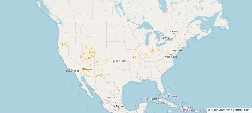
Nationwide Daily Hail, Wind & Tornado Map - September 6, 2026 — regional hail footprint preview
Storm footprint preview
Sep 5, 2026 10:00 PM to Sep 7, 2026 1:52 AM CST

Nationwide Daily Hail, Wind & Tornado Map - September 6, 2026

Hail as large as 3.25 inches was reported near 14 miles southwest of Landusky, MT. Wind up to 96 mph was reported near 3 miles north-northeast of Kingsley Dam, NE. 2 tornadoes were reported, including one near 8 miles south-southwest of Arnegard, ND. The storm had 23 official hail reports.

Affected states: National, AL, AR, CO, FL, GA, ID, IA, KS, KY, LA, ME, MN, MS, MO, MT, NE, NM, NC, ND, OK, OR, SC, SD, TN, TX, UT, VA, WY
4.27 inRadar size estimate 772,536Population Affected 329,068Houses Affected Hail · Wind · TornadoHazards FreeAccount signup
Page 1 of 10
‹ 1 2 10 ›

Frequently asked questions

Can I search hail maps by coverage area?

Yes. The storm library supports coverage-area filtering so you can find hail maps and hail swaths in a target service area.

What kinds of storms appear in the HailMapr library?

The library focuses on published hail events, including ready storm maps and live storms once hail has been detected and a public swath is available.

Are HailMapr storm pages useful for roofers and adjusters?

Yes. They are built to help roofers, adjusters, restoration teams, and property owners review storm footprints before purchase.