Storm library

Browse live and recent hail maps.

Review storm footprints, hail swaths, reports, and replay access. Create a free account to save your setup and move into map access when a storm matters.

Search filters
Clear
Newest storms first by default.
Don't see your storm? Request a qualifying storm map and we'll email you when it is ready.
Showing 1-24 of 45 storms · Page 1 of 2
‹ 1 2 ›
Request a storm map

Tell us about the storm and we'll build the map. Once it's published you'll get an email and can purchase it from the library — just like any other event.

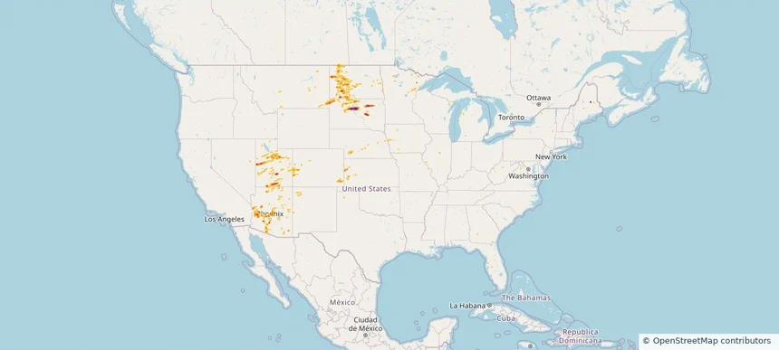
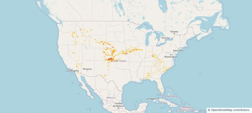
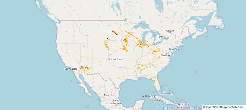
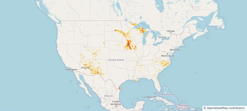
Nationwide Daily Hail & Wind Map - October 22, 2026 — regional hail footprint preview
Storm footprint preview
Oct 21, 2026 10:00 PM to Oct 23, 2026 2:00 AM CST

Nationwide Daily Hail & Wind Map - October 22, 2026

Hail as large as 3.00 inches was reported near 5 miles north of Page Springs, AZ. Wind up to 84 mph was reported near 3 miles southeast of Safford, AZ. The storm had 7 official hail reports.

Affected states: National, AZ, CA, ID, NV, NM, UT
2.96 inRadar size estimate 149,745Population Affected 63,004Houses Affected Hail · WindHazards FreeAccount signup
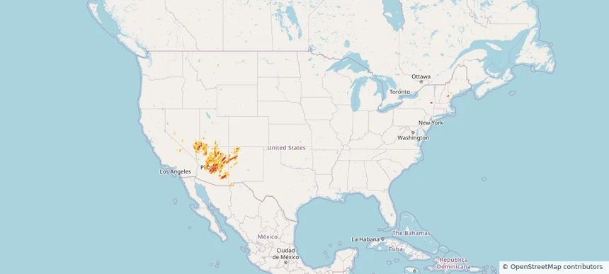
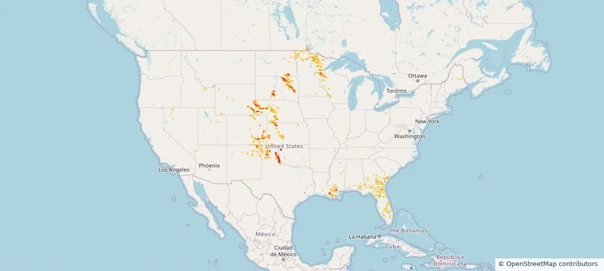
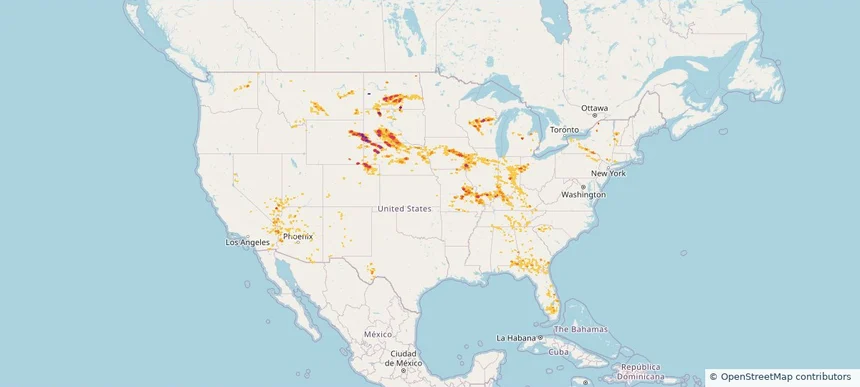
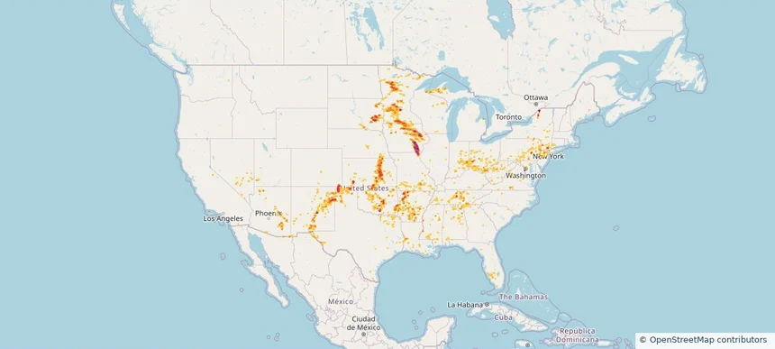
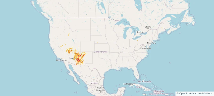
Nationwide Daily Hail & Wind Map - October 21, 2026 — regional hail footprint preview
Storm footprint preview
Oct 20, 2026 10:00 PM to Oct 22, 2026 2:00 AM CST

Nationwide Daily Hail & Wind Map - October 21, 2026

Hail as large as 2.00 inches was reported near 3 miles east-northeast of Mesa, AZ. Wind up to 83 mph was reported near Flagstaff Airport, AZ. The storm had 8 official hail reports.

Affected states: National, AZ, CA, KS, ME, NV, NH, NM, NY, UT
2.9 inRadar size estimate 1,163,046Population Affected 468,816Houses Affected Hail · WindHazards FreeAccount signup
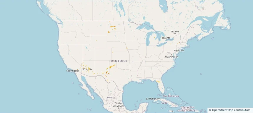
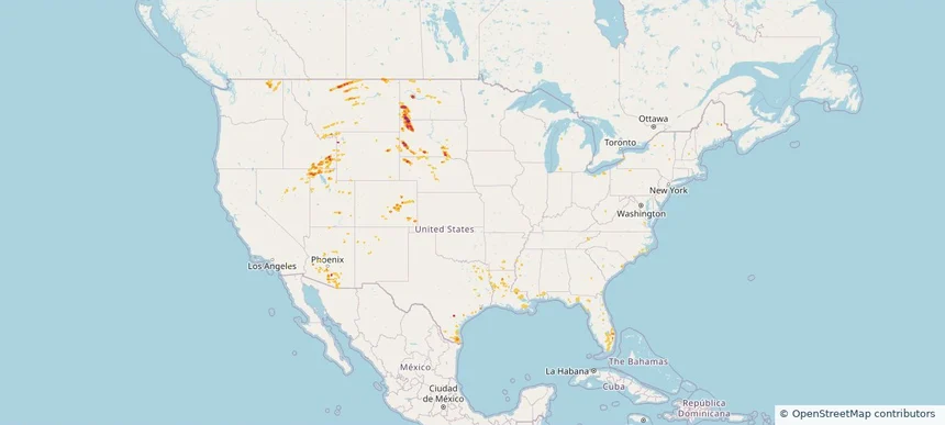
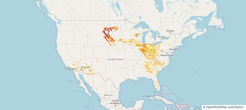
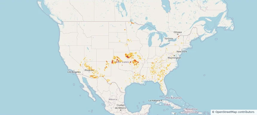
Nationwide Daily Hail, Wind & Tornado Map - September 29, 2026 — regional hail footprint preview
Storm footprint preview
Sep 28, 2026 10:00 PM to Sep 30, 2026 2:00 AM CST

Nationwide Daily Hail, Wind & Tornado Map - September 29, 2026

Radar estimates hail around 1.46 inches near South McLean, ND. Wind up to 77 mph was reported near 3 miles west of Midway, NM. 4 tornadoes were reported, including one near 3 miles northeast of Howell, KS.

Affected states: National, AZ, CA, FL, KS, ME, NM, ND, SD, TX
1.46 inRadar size estimate 14,166Population Affected 5,887Houses Affected Hail · Wind · TornadoHazards FreeAccount signup
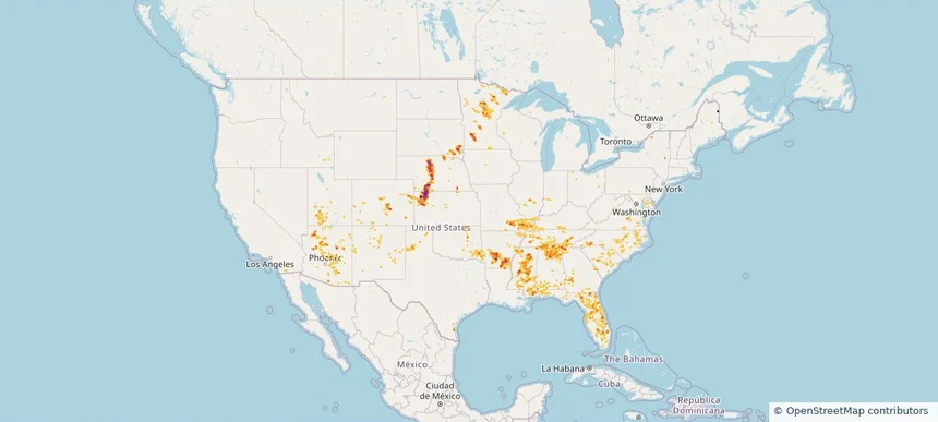
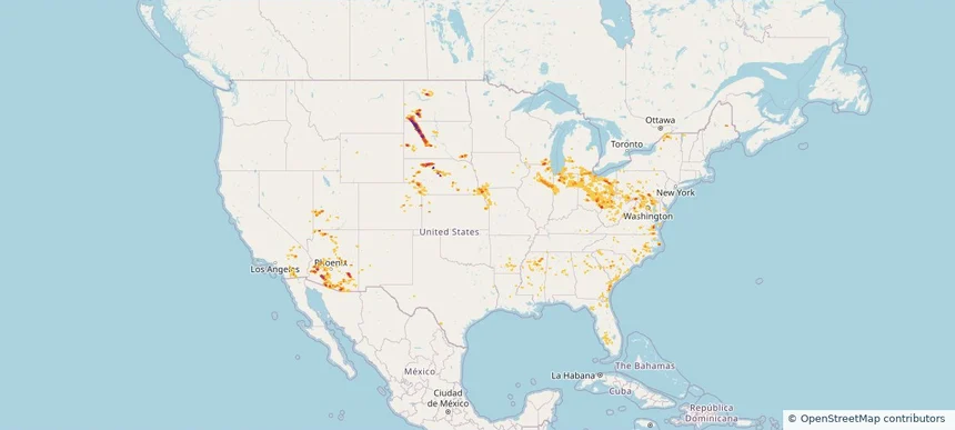
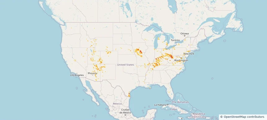
Nationwide Daily Hail, Wind & Tornado Map - September 28, 2026 — regional hail footprint preview
Storm footprint preview
Sep 27, 2026 10:00 PM to Sep 29, 2026 2:00 AM CST

Nationwide Daily Hail, Wind & Tornado Map - September 28, 2026

Hail as large as 1.00 inches was reported near 10 miles north of Belle Fourche, SD. Wind up to 89 mph was reported near 5 miles east-southeast of Kenel, SD. A tornado was reported near 8 miles west-southwest of East Carbon, UT. The storm had 2 official hail reports.

Affected states: National, AZ, CA, CO, MT, NV, ND, OK, SD, TX, UT, WY
1.95 inRadar size estimate 4,214Population Affected 2,201Houses Affected Hail · Wind · TornadoHazards FreeAccount signup
Nationwide Daily Hail & Wind Map - September 24, 2026 — regional hail footprint preview
Storm footprint preview
Sep 23, 2026 10:00 PM to Sep 25, 2026 2:00 AM CST

Nationwide Daily Hail & Wind Map - September 24, 2026

Hail as large as 1.00 inches was reported near Twentynine Palms 0.3 Nne, CA. Wind up to 69 mph was reported near Memphis, TX. The storm had 3 official hail reports.

Affected states: National, AZ, CA, KS, ME, NM, NY, OK, SC, SD, TX
1.5 inRadar size estimate 22,390Population Affected 7,316Houses Affected Hail · WindHazards FreeAccount signup
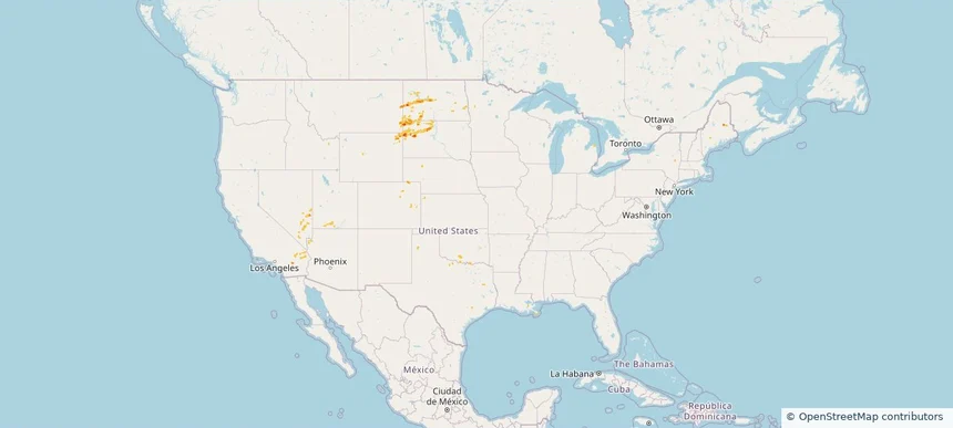
Nationwide Daily Hail & Wind Map - September 21, 2026 — regional hail footprint preview
Storm footprint preview
Sep 20, 2026 10:00 PM to Sep 22, 2026 1:50 AM CST

Nationwide Daily Hail & Wind Map - September 21, 2026

Hail as large as 1.50 inches was reported near Ordway 3.5 W, CO. Wind up to 77 mph was reported near 1 mile east-southeast of Black Rock, AR. The storm had 11 official hail reports.

Affected states: National, AL, AR, CA, CO, FL, GA, IL, KY, LA, MS, MO, NV, NM, NY, NC, OH, OK, SC, TN, TX, VA, WV
2.5 inRadar size estimate 680,105Population Affected 288,368Houses Affected Hail · WindHazards FreeAccount signup
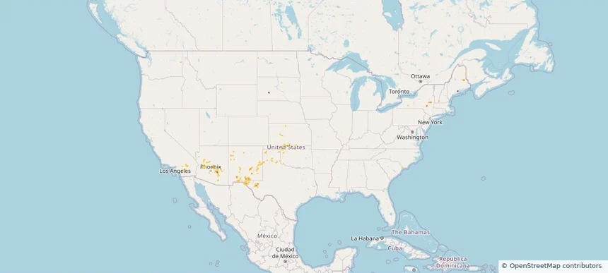
Nationwide Daily Hail, Wind & Tornado Map - September 17, 2026 — regional hail footprint preview
Storm footprint preview
Sep 16, 2026 10:00 PM to Sep 18, 2026 1:50 AM CST

Nationwide Daily Hail, Wind & Tornado Map - September 17, 2026

Hail as large as 2.50 inches was reported near 1 mile north-northeast of Rose, ID. Wind up to 70 mph was reported near 9 miles south-southwest of Mud Lake, ID. A tornado was reported near 11 miles north-northeast of Chappell, NE. The storm had 5 official hail reports.

Affected states: National, AZ, CA, CO, ID, IL, IN, IA, KY, MO, NE, NM, NY, OH, OR, UT, WY
2.5 inRadar size estimate 152,922Population Affected 62,918Houses Affected Hail · Wind · TornadoHazards FreeAccount signup
Nationwide Daily Hail & Wind Map - September 16, 2026 — regional hail footprint preview
Storm footprint preview
Sep 15, 2026 10:00 PM to Sep 17, 2026 1:50 AM CST

Nationwide Daily Hail & Wind Map - September 16, 2026

Hail as large as 1.25 inches was reported near 2 miles northeast of Linn Creek, MO. Wind up to 77 mph was reported near 3 miles south of Faust, UT. The storm had 5 official hail reports.

Affected states: National, AZ, CA, CO, ID, IL, IN, IA, MI, MO, NV, NM, OH, OK, OR, TX, UT, WY
2.5 inRadar size estimate 92,847Population Affected 47,700Houses Affected Hail · WindHazards FreeAccount signup
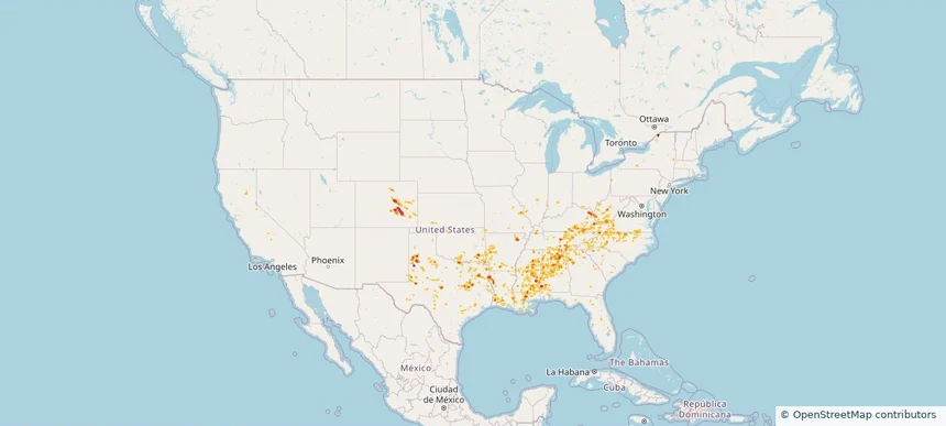
Nationwide Daily Hail, Wind & Tornado Map - September 1, 2026 — regional hail footprint preview
Storm footprint preview
Aug 31, 2026 10:00 PM to Sep 2, 2026 1:45 AM CST

Nationwide Daily Hail, Wind & Tornado Map - September 1, 2026

Hail as large as 4.00 inches was reported near 1 mile west of Easton, MN. Wind up to 130 mph was reported near 4 miles north-northwest of Fordyce, NE. 3 tornadoes were reported, including one near 4 miles west-northwest of Gaines, PA. The storm had 21 official hail reports.

Affected states: National, AZ, CA, CO, DE, FL, ID, IA, KS, MD, MI, MN, NE, NV, NJ, NY, PA, SD, TX, UT, WI, WY
4.49 inRadar size estimate 821,826Population Affected 333,181Houses Affected Hail · Wind · TornadoHazards FreeAccount signup
Nationwide Daily Hail & Wind Map - August 30, 2026 — regional hail footprint preview
Storm footprint preview
Aug 29, 2026 10:00 PM to Aug 31, 2026 1:45 AM CST

Nationwide Daily Hail & Wind Map - August 30, 2026

Hail as large as 1.75 inches was reported near 4 miles northeast of Miller Dale Colony, SD. Wind up to 115 mph was reported near 1 mile north of Buffalo, SD. The storm had 4 official hail reports.

Affected states: National, AZ, CA, CO, FL, IL, IA, KS, ME, MN, MT, NE, NM, ND, SD, TX, UT, WY
3.47 inRadar size estimate 103,758Population Affected 42,975Houses Affected Hail · WindHazards FreeAccount signup
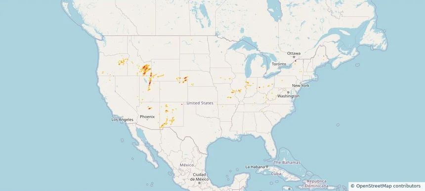
Nationwide Daily Hail & Wind Map - August 25, 2026 — regional hail footprint preview
Storm footprint preview
Aug 24, 2026 10:00 PM to Aug 26, 2026 1:45 AM CST

Nationwide Daily Hail & Wind Map - August 25, 2026

Hail as large as 3.00 inches was reported near Gould, OK. Wind up to 97 mph was reported near 1 mile east of Clayton, NM. The storm had 16 official hail reports.

Affected states: National, AL, CA, CO, FL, GA, ID, KS, LA, MN, MT, NE, NV, NM, ND, OK, SC, SD, TX, UT, WI, WY
3.5 inRadar size estimate 240,505Population Affected 109,890Houses Affected Hail · WindHazards FreeAccount signup
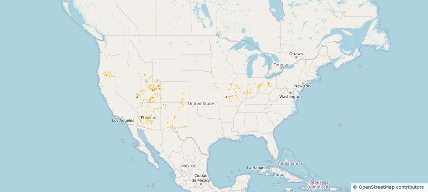
Nationwide Daily Hail, Wind & Tornado Map - August 23, 2026 — regional hail footprint preview
Storm footprint preview
Aug 22, 2026 10:00 PM to Aug 24, 2026 1:45 AM CST

Nationwide Daily Hail, Wind & Tornado Map - August 23, 2026

Hail as large as 1.75 inches was reported near 10 miles south-southwest of Reva, SD. Wind up to 86 mph was reported near 2 miles west-northwest of Malta, MT. A tornado was reported near 5 miles east-northeast of Sorum, SD. The storm had 13 official hail reports.

Affected states: National, AL, AZ, CA, CO, FL, ID, LA, MS, MT, NE, NV, NM, NC, ND, OH, PA, SC, SD, TN, TX, UT, WA, WY
3.0 inRadar size estimate 225,924Population Affected 98,035Houses Affected Hail · Wind · TornadoHazards FreeAccount signup
Nationwide Daily Hail, Wind & Tornado Map - August 20, 2026 — regional hail footprint preview
Storm footprint preview
Aug 19, 2026 10:00 PM to Aug 21, 2026 1:45 AM CST

Nationwide Daily Hail, Wind & Tornado Map - August 20, 2026

Hail as large as 2.50 inches was reported near 4 miles northeast of Vesta, MN. Wind up to 96 mph was reported near 2 miles east-southeast of Oakley, KS. 15 tornadoes were reported, including one near 3 miles east-southeast of Cunningham, KY. The storm had 34 official hail reports.

Affected states: National, AL, AZ, AR, CA, CO, DE, FL, GA, ID, IL, IN, KS, KY, LA, ME, MD, MN, MS, MO, NE, NJ, NM, NY, NC, OK, PA, SC, SD, TN, TX, UT, VA, WY
3.5 inRadar size estimate 1,296,920Population Affected 582,615Houses Affected Hail · Wind · TornadoHazards FreeAccount signup
Nationwide Daily Hail, Wind & Tornado Map - August 15, 2026 — regional hail footprint preview
Storm footprint preview
Aug 14, 2026 10:00 PM to Aug 16, 2026 1:45 AM CST

Nationwide Daily Hail, Wind & Tornado Map - August 15, 2026

Hail as large as 1.75 inches was reported near 2 miles south-southwest of Foxfield, CO. Wind up to 92 mph was reported near 2 miles south of Meriden, KS. 4 tornadoes were reported, including one near 3 miles north of Fletcher, OH. The storm had 4 official hail reports.

Affected states: National, AL, CA, CO, FL, GA, ID, IL, IN, IA, KS, KY, MI, MS, MO, MT, NE, NV, NM, NC, OH, OK, OR, SC, TN, TX, UT, VA, WV, WY
2.5 inRadar size estimate 446,520Population Affected 196,892Houses Affected Hail · Wind · TornadoHazards FreeAccount signup
Nationwide Daily Hail, Wind & Tornado Map - August 14, 2026 — regional hail footprint preview
Storm footprint preview
Aug 13, 2026 10:00 PM to Aug 15, 2026 1:45 AM CST

Nationwide Daily Hail, Wind & Tornado Map - August 14, 2026

Hail as large as 3.50 inches was reported near Union Mills, VA. Wind up to 104 mph was reported near 2 miles east-northeast of Barracks, VA. A tornado was reported near 2 miles east-northeast of Commerce City, CO. The storm had 9 official hail reports.

Affected states: National, AL, AZ, CA, CO, FL, GA, ID, IL, IN, IA, KS, KY, MO, MT, NE, NV, NM, NY, NC, OH, OK, OR, SC, TN, TX, UT, VA, WA, WV, WY
2.95 inRadar size estimate 874,845Population Affected 394,687Houses Affected Hail · Wind · TornadoHazards FreeAccount signup
Nationwide Daily Hail, Wind & Tornado Map - August 13, 2026 — regional hail footprint preview
Storm footprint preview
Aug 12, 2026 10:00 PM to Aug 14, 2026 1:45 AM CST

Nationwide Daily Hail, Wind & Tornado Map - August 13, 2026

Hail as large as 1.75 inches was reported near 4 miles east-northeast of Alexandria, IN. Wind up to 118 mph was reported near 1 mile south-southwest of New Haven Airport, CT. 6 tornadoes were reported, including one near 4 miles southwest of Cornlea, NE. The storm had 10 official hail reports.

Affected states: National, AL, AZ, CA, CO, CT, FL, GA, IL, IN, IA, KS, KY, ME, MA, MI, MS, MO, MT, NE, NV, NH, NM, NY, NC, OH, OK, OR, RI, SC, SD, TN, TX, UT, VT, VA, WA, WY
2.5 inRadar size estimate 981,714Population Affected 420,167Houses Affected Hail · Wind · TornadoHazards FreeAccount signup
Nationwide Daily Hail, Wind & Tornado Map - August 12, 2026 — regional hail footprint preview
Storm footprint preview
Aug 11, 2026 10:00 PM to Aug 13, 2026 1:51 AM CST

Nationwide Daily Hail, Wind & Tornado Map - August 12, 2026

Hail as large as 3.50 inches was reported near 11 miles west of Hot Springs, SD. Wind up to 118 mph was reported near 1 mile south-southwest of New Haven Airport, CT. 5 tornadoes were reported, including one near 14 miles north of Reno Junction, WY. The storm had 22 official hail reports.

Affected states: National, AL, AZ, CA, CO, CT, FL, GA, ID, IL, IN, IA, KY, MI, MN, MO, MT, NE, NV, NM, NY, NC, ND, OH, PA, SC, SD, TN, TX, UT, VT, VA, WA, WI, WY
3.5 inRadar size estimate 1,558,433Population Affected 672,634Houses Affected Hail · Wind · TornadoHazards FreeAccount signup
Nationwide Daily Hail, Wind & Tornado Map - August 11, 2026 — regional hail footprint preview
Storm footprint preview
Aug 10, 2026 10:00 PM to Aug 12, 2026 1:54 AM CST

Nationwide Daily Hail, Wind & Tornado Map - August 11, 2026

Hail as large as 4.50 inches was reported near 5 miles northwest of Clinton, NE. Wind up to 128 mph was reported near 13 miles northeast of Newell, SD. 29 tornadoes were reported, including one near 8 miles south-southwest of Faith, SD. The storm had 51 official hail reports.

Affected states: National, AL, AZ, CA, CT, FL, GA, IL, IN, IA, KS, KY, MD, MI, MT, NE, NJ, NM, NY, NC, ND, OH, PA, SC, SD, TN, TX, UT, VT, VA, WV, WI, WY
4.55 inRadar size estimate 3,928,776Population Affected 1,679,380Houses Affected Hail · Wind · TornadoHazards FreeAccount signup
Nationwide Daily Hail, Wind & Tornado Map - August 10, 2026 — regional hail footprint preview
Storm footprint preview
Aug 9, 2026 10:00 PM to Aug 11, 2026 1:45 AM CST

Nationwide Daily Hail, Wind & Tornado Map - August 10, 2026

Hail as large as 4.50 inches was reported near 7 miles east of Prairie City, SD. Wind up to 97 mph was reported near 6 miles west-northwest of Goodyear, AZ. 8 tornadoes were reported, including one near 3 miles north-northeast of German Corner, IL. The storm had 22 official hail reports.

Affected states: National, AL, AZ, AR, CA, CO, DE, DC, FL, GA, IL, IN, IA, KS, MD, MI, MS, MO, NE, NM, NY, NC, ND, OH, PA, SC, SD, UT, VT, VA, WV, WI, WY
4.63 inRadar size estimate 2,848,097Population Affected 1,295,082Houses Affected Hail · Wind · TornadoHazards FreeAccount signup
Nationwide Daily Hail, Wind & Tornado Map - August 9, 2026 — regional hail footprint preview
Storm footprint preview
Aug 8, 2026 10:00 PM to Aug 10, 2026 1:45 AM CST

Nationwide Daily Hail, Wind & Tornado Map - August 9, 2026

Hail as large as 2.50 inches was reported near 1 mile northwest of West Okoboji, IA. Wind up to 97 mph was reported near 6 miles west-northwest of Goodyear, AZ. 8 tornadoes were reported, including one near 5 miles southwest of Atkinson, IL. The storm had 11 official hail reports.

Affected states: National, AL, AZ, AR, CA, CO, FL, GA, IL, IN, IA, KS, KY, LA, MI, MN, MS, MO, MT, NE, NV, NM, NY, NC, ND, OH, PA, SC, SD, TN, TX, UT, VA, WV, WI, WY
5.91 inRadar size estimate 3,570,528Population Affected 1,491,824Houses Affected Hail · Wind · TornadoHazards FreeAccount signup
Nationwide Daily Hail, Wind & Tornado Map - August 7, 2026 — regional hail footprint preview
Storm footprint preview
Aug 6, 2026 10:00 PM to Aug 8, 2026 1:53 AM CST

Nationwide Daily Hail, Wind & Tornado Map - August 7, 2026

Hail as large as 4.50 inches was reported near Ryan, IA. Wind up to 113 mph was reported near 1 mile east-southeast of Prairieburg, IA. 4 tornadoes were reported, including one near 2 miles north of Waverly, IA. The storm had 26 official hail reports.

Affected states: National, AL, AZ, AR, CA, CO, CT, DE, FL, GA, IL, IN, IA, KS, KY, LA, MD, MA, MI, MN, MS, MO, NE, NV, NJ, NM, NY, OH, OK, PA, SD, TN, TX, UT, VA, WV, WI
3.5 inRadar size estimate 1,654,669Population Affected 689,946Houses Affected Hail · Wind · TornadoHazards FreeAccount signup
Nationwide Daily Hail & Wind Map - August 6, 2026 — regional hail footprint preview
Storm footprint preview
Aug 5, 2026 10:00 PM to Aug 7, 2026 1:45 AM CST

Nationwide Daily Hail & Wind Map - August 6, 2026

Hail as large as 3.00 inches was reported near West Plains, MO. Wind up to 81 mph was reported near 1 mile east of Marshfield, MO. The storm had 17 official hail reports.

Affected states: National, AL, AZ, AR, CA, CO, FL, GA, IL, IA, KS, KY, LA, MD, MN, MS, MO, NV, NM, NY, NC, ND, OK, PA, SC, SD, TN, TX, UT, VA, WV
4.05 inRadar size estimate 874,089Population Affected 383,577Houses Affected Hail · WindHazards FreeAccount signup
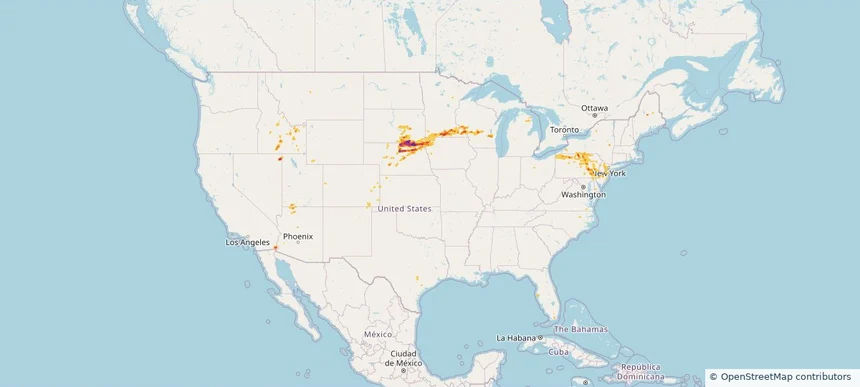
Nationwide Daily Hail, Wind & Tornado Map - July 21, 2026 — regional hail footprint preview
Storm footprint preview
Jul 20, 2026 10:00 PM to Jul 22, 2026 1:45 AM CST

Nationwide Daily Hail, Wind & Tornado Map - July 21, 2026

Hail as large as 2.25 inches was reported near Doswell, VA. Wind up to 92 mph was reported near Centerville, IA. 44 tornadoes were reported, including one near 7 miles north of Grantsville, WV. The storm had 5 official hail reports.

Affected states: National, AZ, AR, CA, CO, CT, DE, FL, GA, ID, IL, IN, IA, KY, LA, MD, MI, MO, NE, NV, NJ, NM, NY, NC, OH, OK, PA, TN, TX, UT, VA, WV, WI, WY
2.47 inRadar size estimate 1,923,332Population Affected 812,169Houses Affected Hail · Wind · TornadoHazards FreeAccount signup
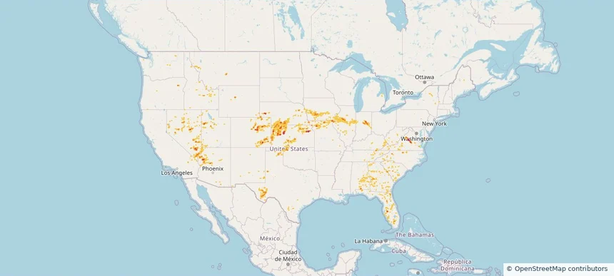
Nationwide Daily Hail, Wind & Tornado Map - July 20, 2026 — regional hail footprint preview
Storm footprint preview
Jul 19, 2026 10:00 PM to Jul 21, 2026 1:45 AM CST

Nationwide Daily Hail, Wind & Tornado Map - July 20, 2026

Hail as large as 3.25 inches was reported near 5 miles northeast of Watson, MI. Wind up to 92 mph was reported near 4 miles south of Sheffield, IA. 10 tornadoes were reported, including one near 1 mile south-southeast of Webster City, IA. The storm had 14 official hail reports.

Affected states: National, AL, AZ, AR, CA, CO, FL, GA, IL, IA, KY, LA, MI, MN, MS, MO, NE, NV, NM, NC, ND, OH, SC, SD, TN, TX, UT, VA, WI, WY
2.5 inRadar size estimate 1,220,552Population Affected 540,399Houses Affected Hail · Wind · TornadoHazards FreeAccount signup
Page 1 of 2
‹ 1 2 ›

Frequently asked questions

Can I search hail maps by coverage area?

Yes. The storm library supports coverage-area filtering so you can find hail maps and hail swaths in a target service area.

What kinds of storms appear in the HailMapr library?

The library focuses on published hail events, including ready storm maps and live storms once hail has been detected and a public swath is available.

Are HailMapr storm pages useful for roofers and adjusters?

Yes. They are built to help roofers, adjusters, restoration teams, and property owners review storm footprints before purchase.